Mount Timpanogos
Distance: 22.6km
Ascent: 1418m
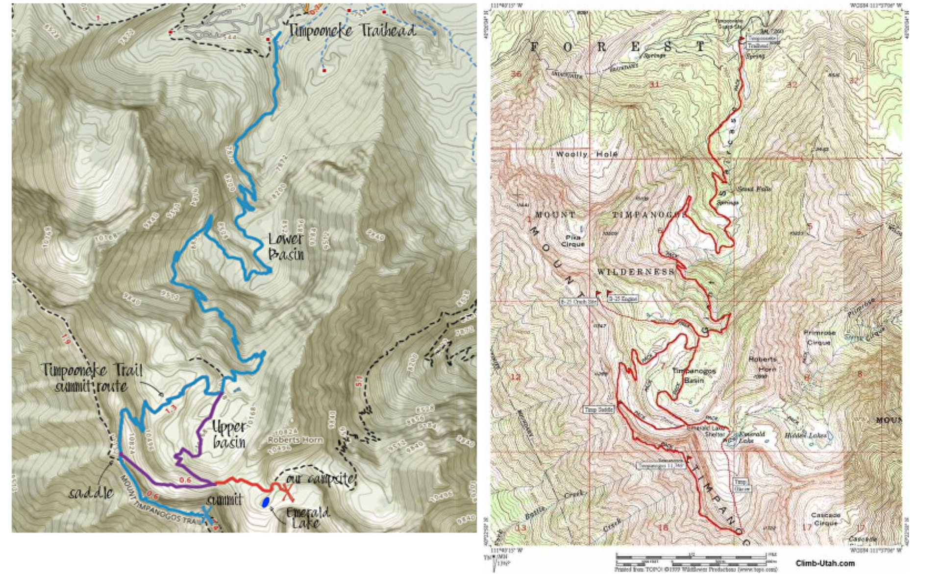
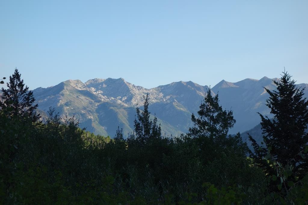
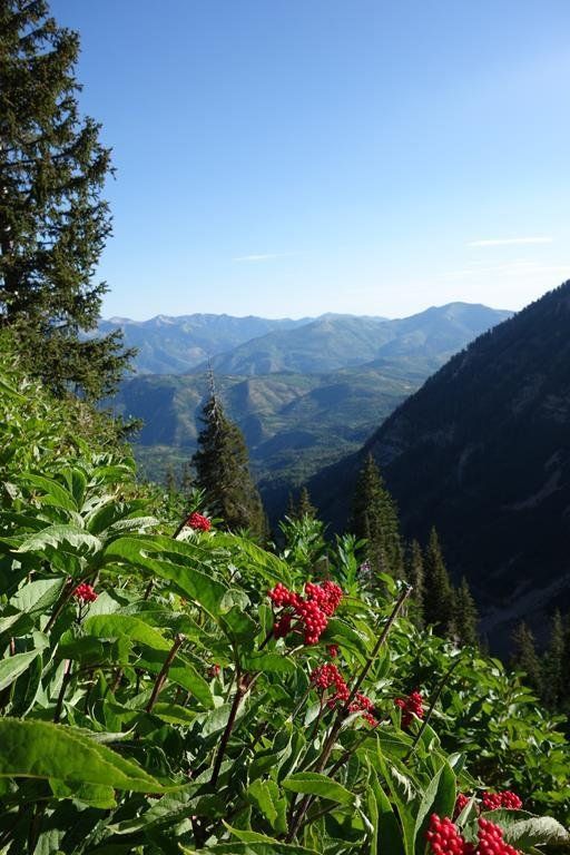
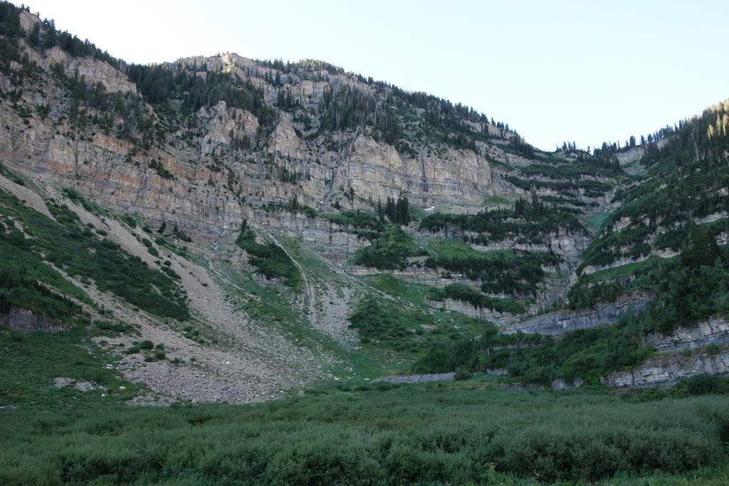
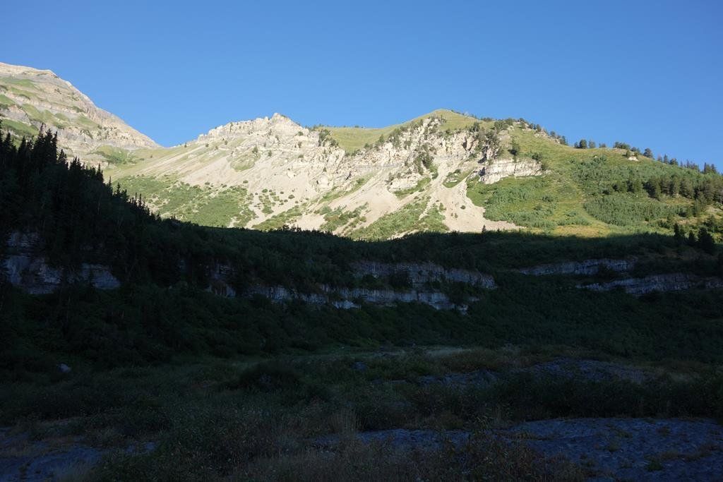
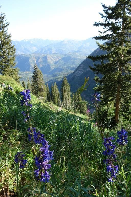
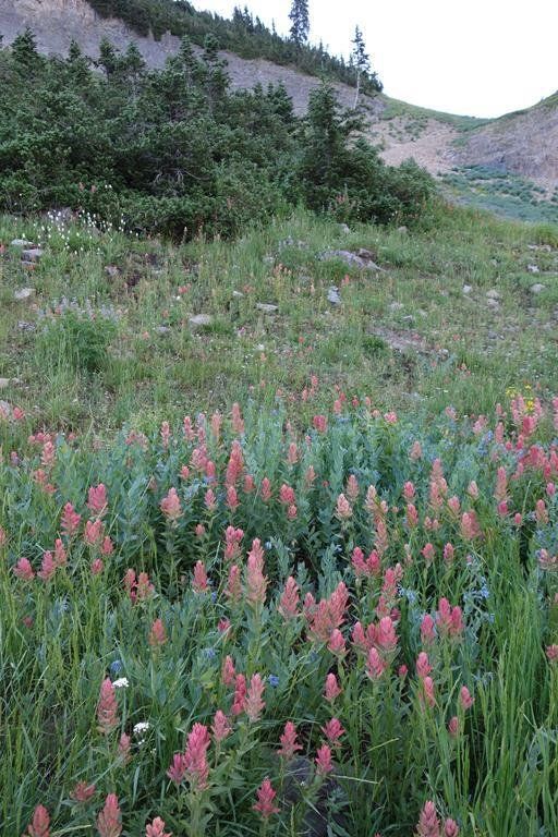
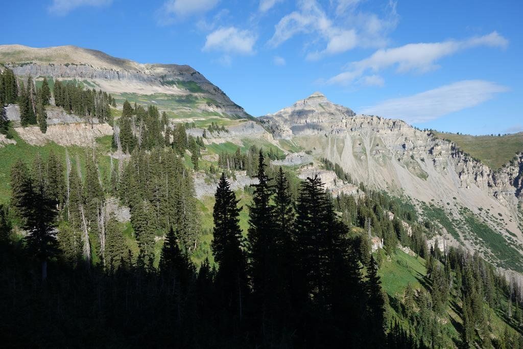
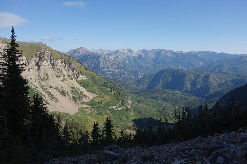
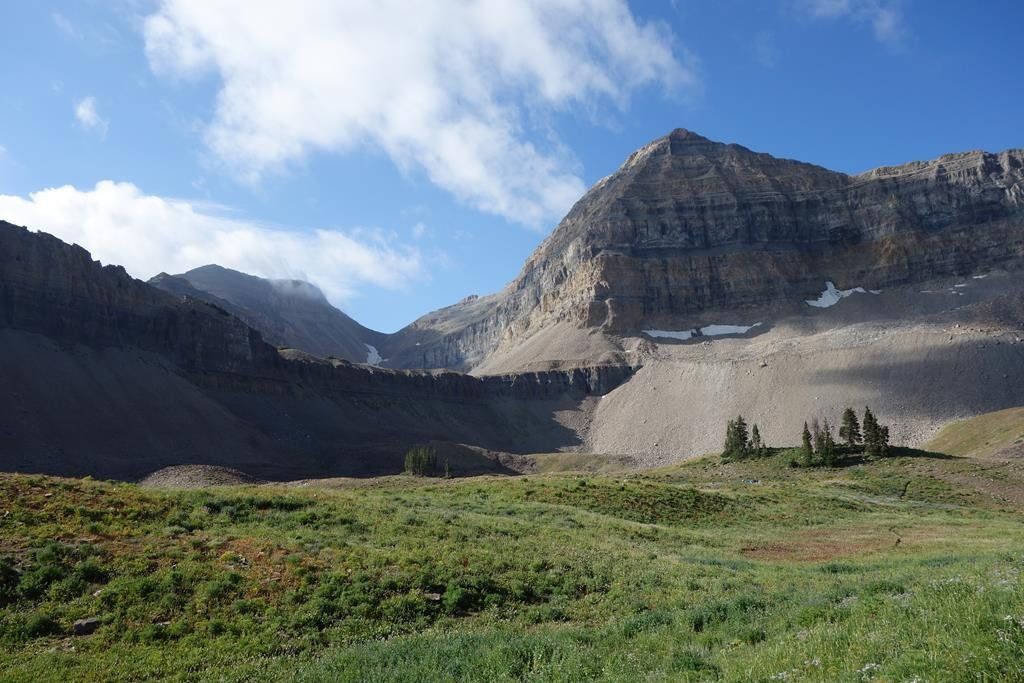
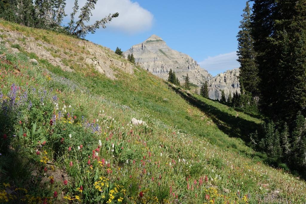
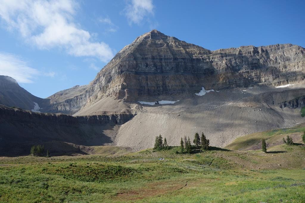
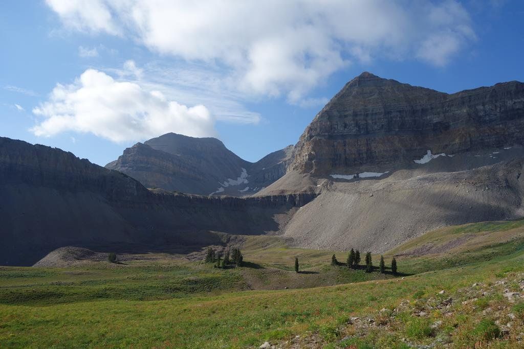
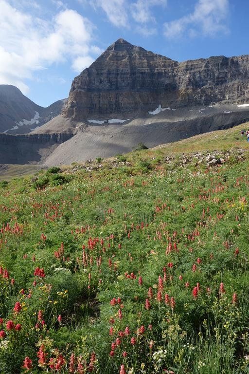
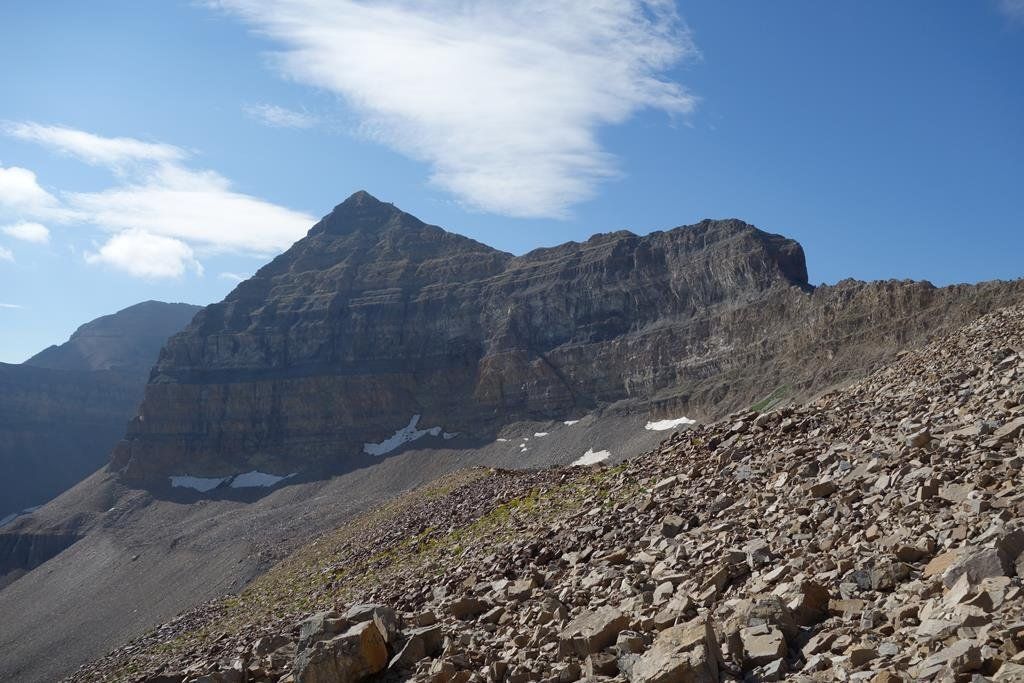
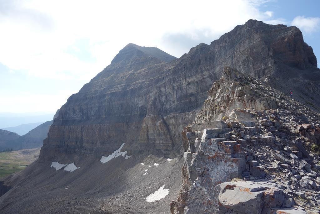
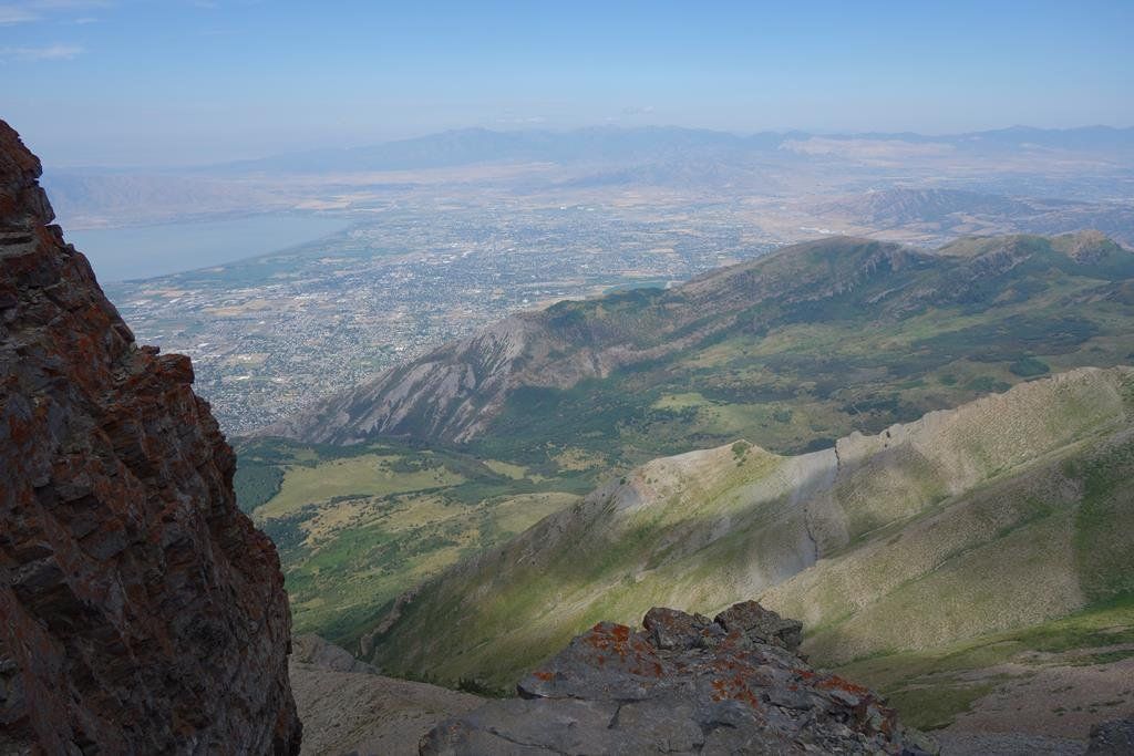
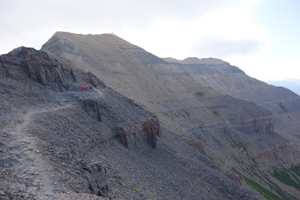
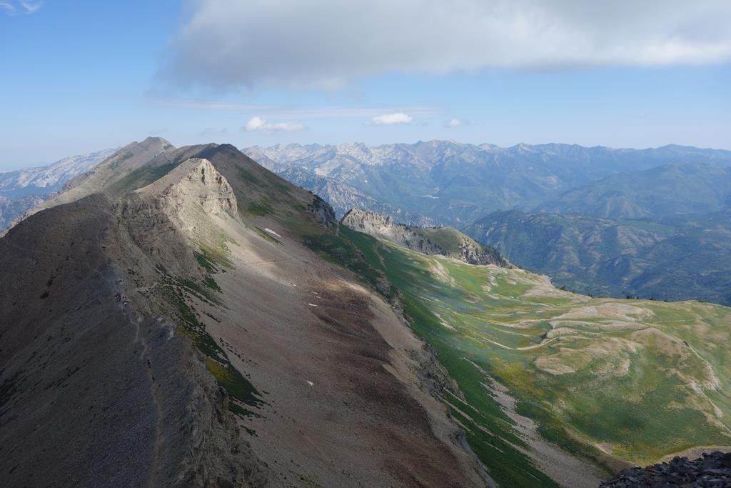
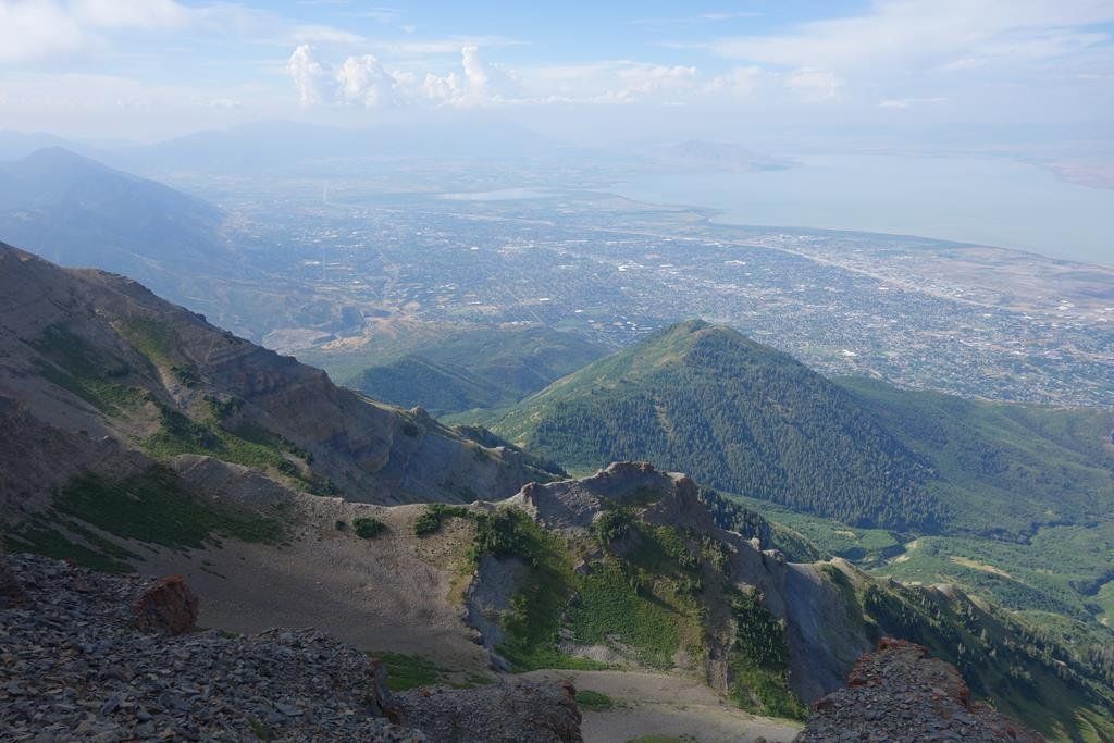
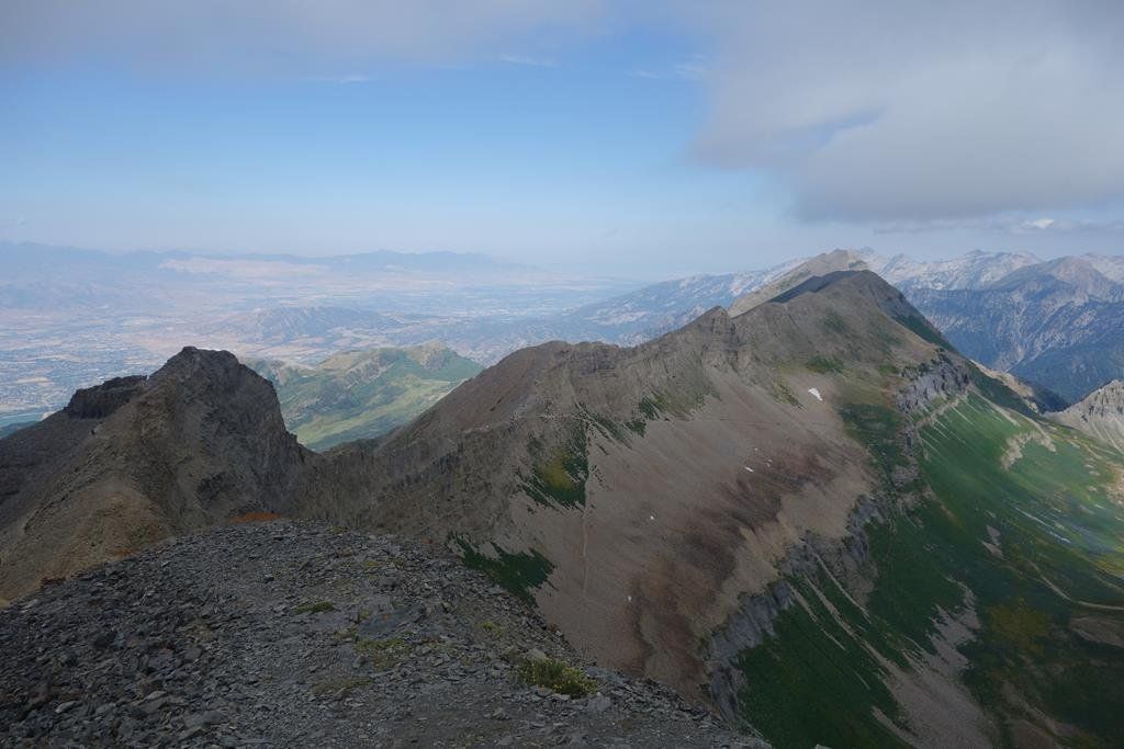
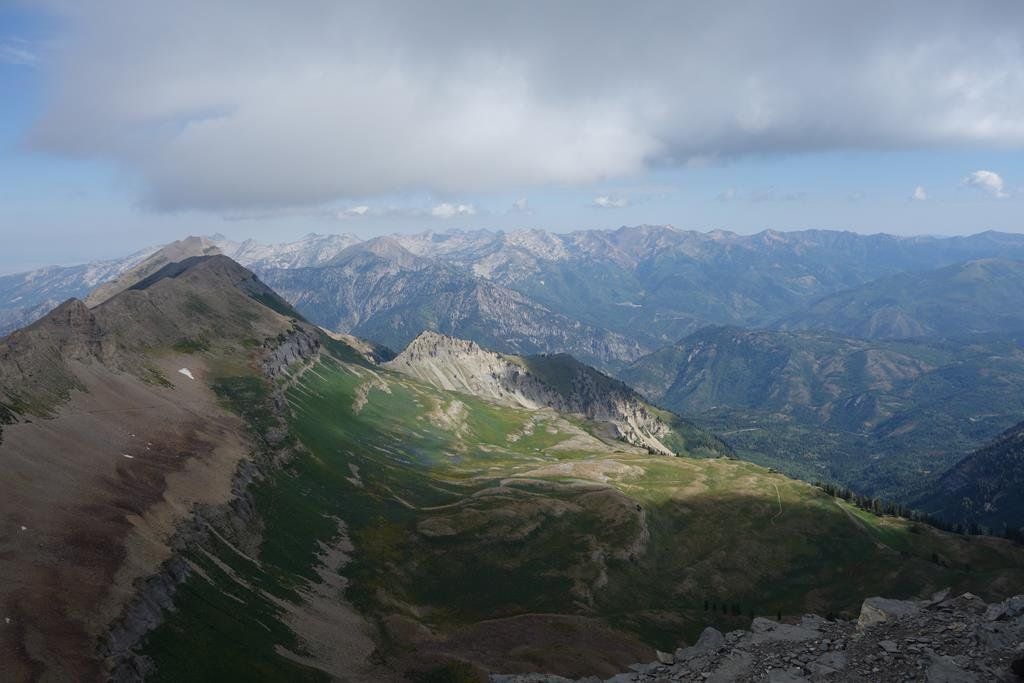
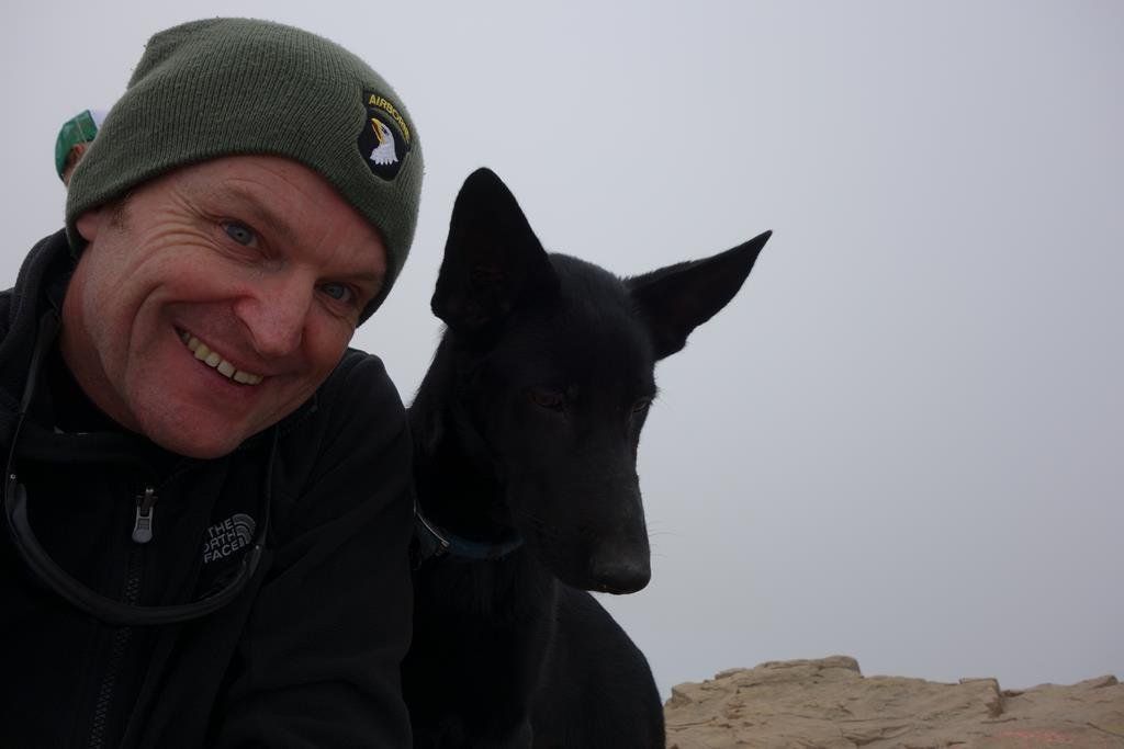
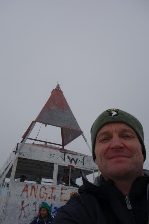
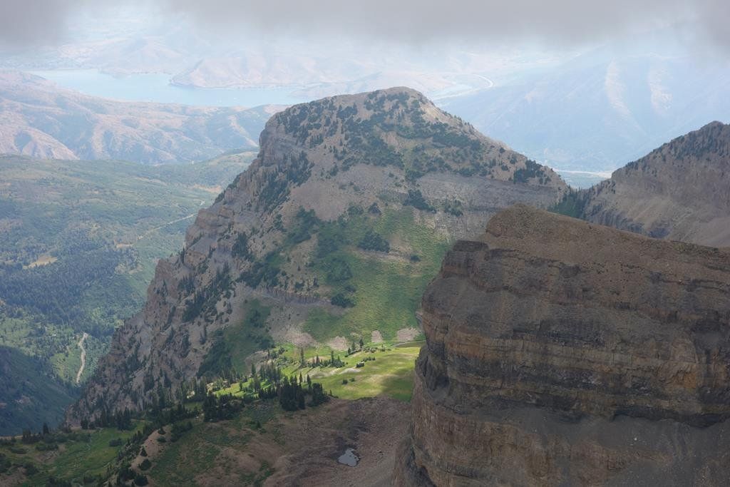
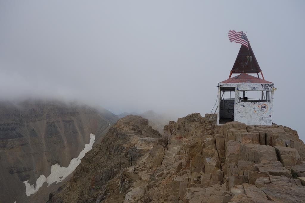
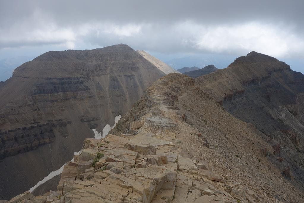
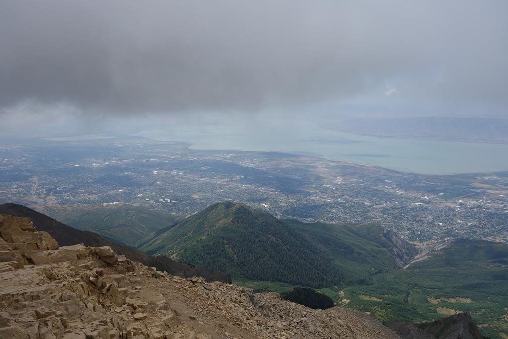
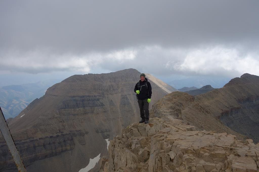
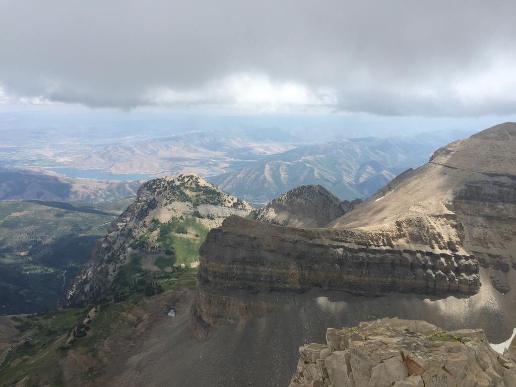
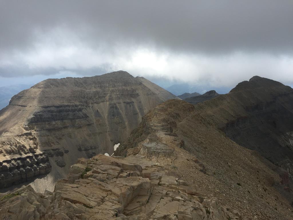
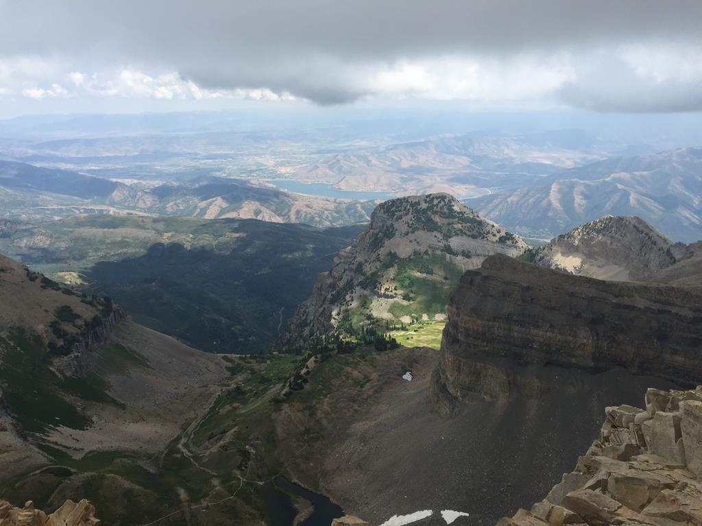
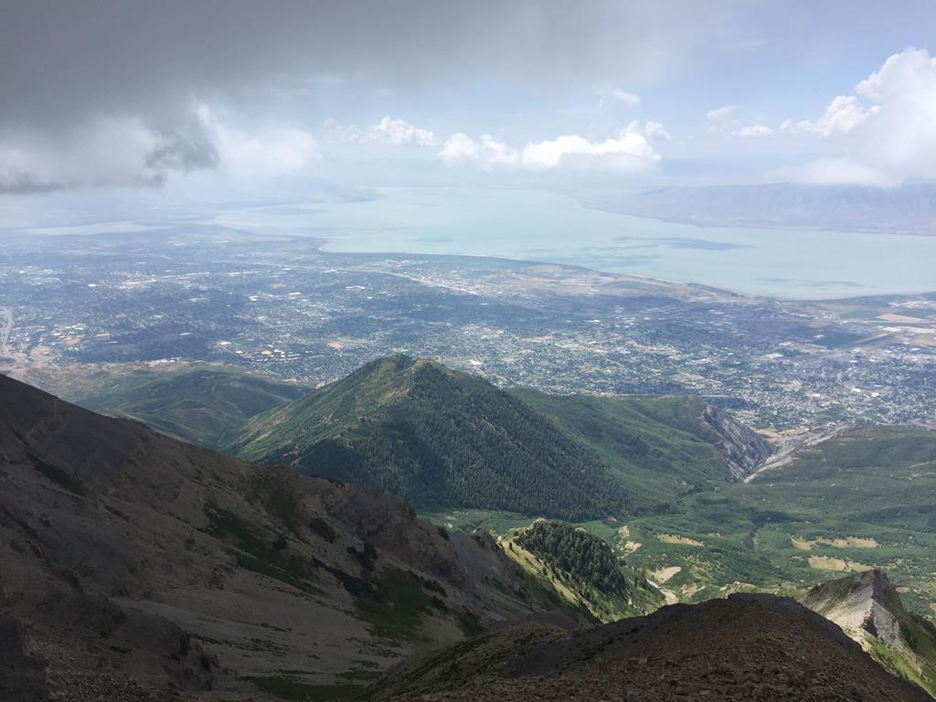
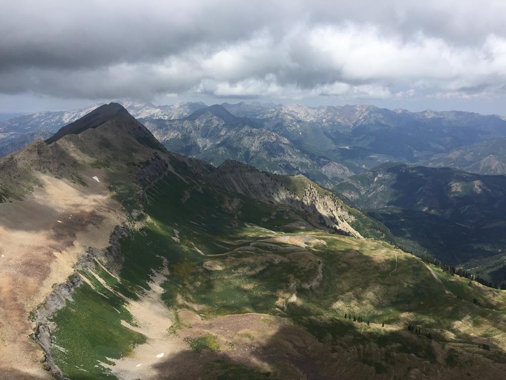
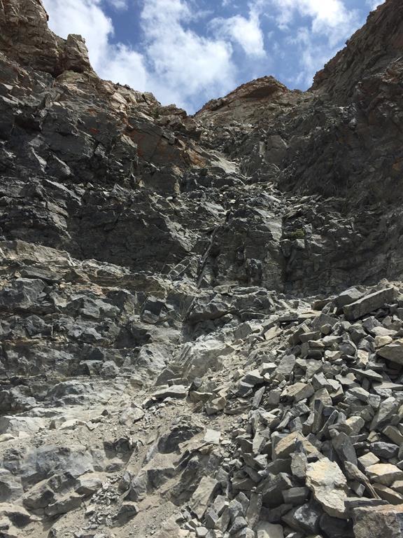
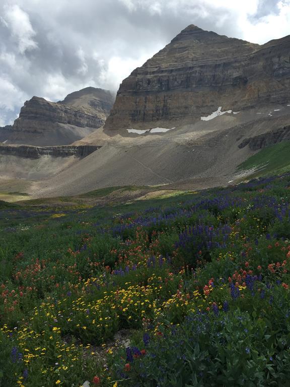
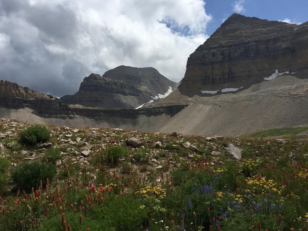
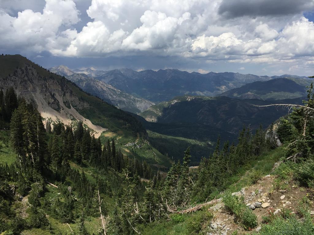
Aug 2016 - Ascent from Timpanookee Campground. Mount Timpanogos, sometimes informally referred to as Timp, is the second highest mountain in Utah's Wasatch Range. Timpanogos rises to an elevation of 11,752 ft (3,582 m) above sea level. The Wasatch Range is a mountain range that stretches approximately 160 miles from the Utah-Idaho border, south through central Utah in the western United States. It is the western edge of the Rocky Mountains. Although it is a 14-mile round-trip hike, with almost a mile of elevation gain, Timp's summit is one of the most-visited in the Rocky Mountains. This was a great hike on a superb trail that winds up through a canyon and across meadows with wildflowers. Eventually a rocky saddle is reached before a great summit ridge with stunning views of the deeper mountains and lower Salt Lake City. Met some fine folk on the way up and down and spent two and a half hours on the summit! Wild deer, goats and possibly a distant moose were seen along with dozens of chipmunks.