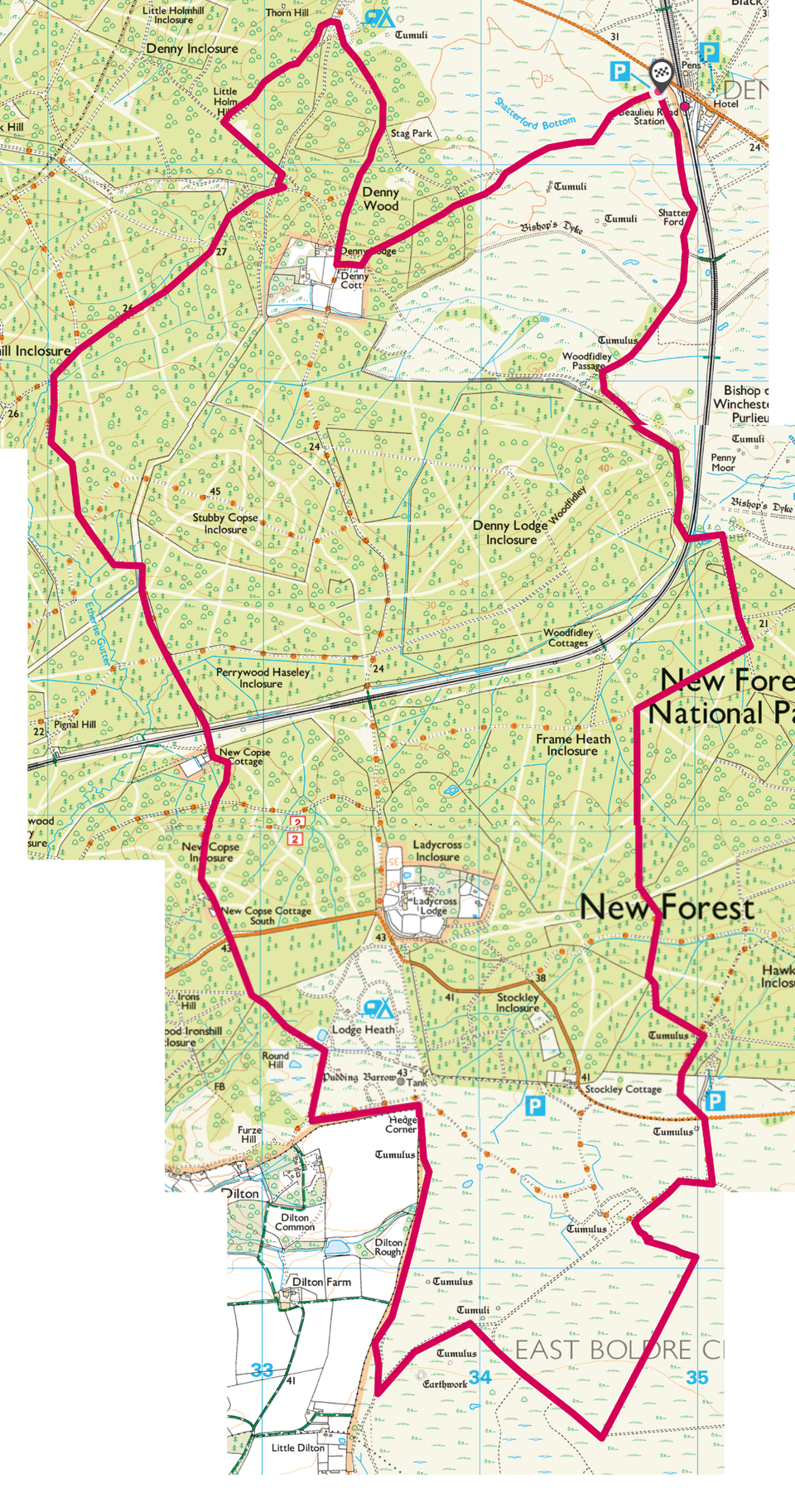
Beaulieu Airfield Loop
Distance: 21.2km
Ascent: 140m
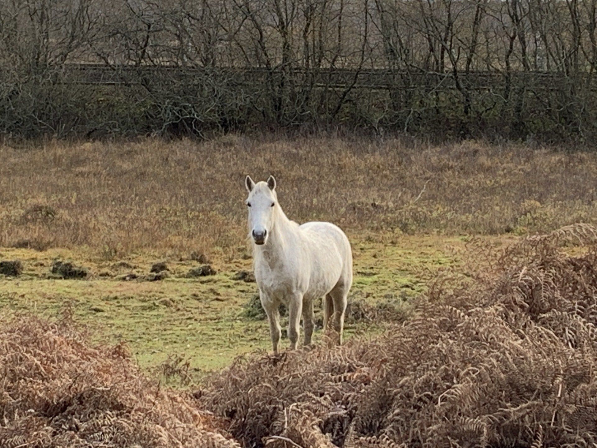
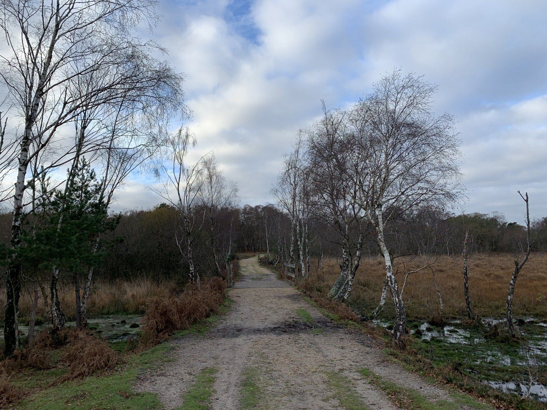
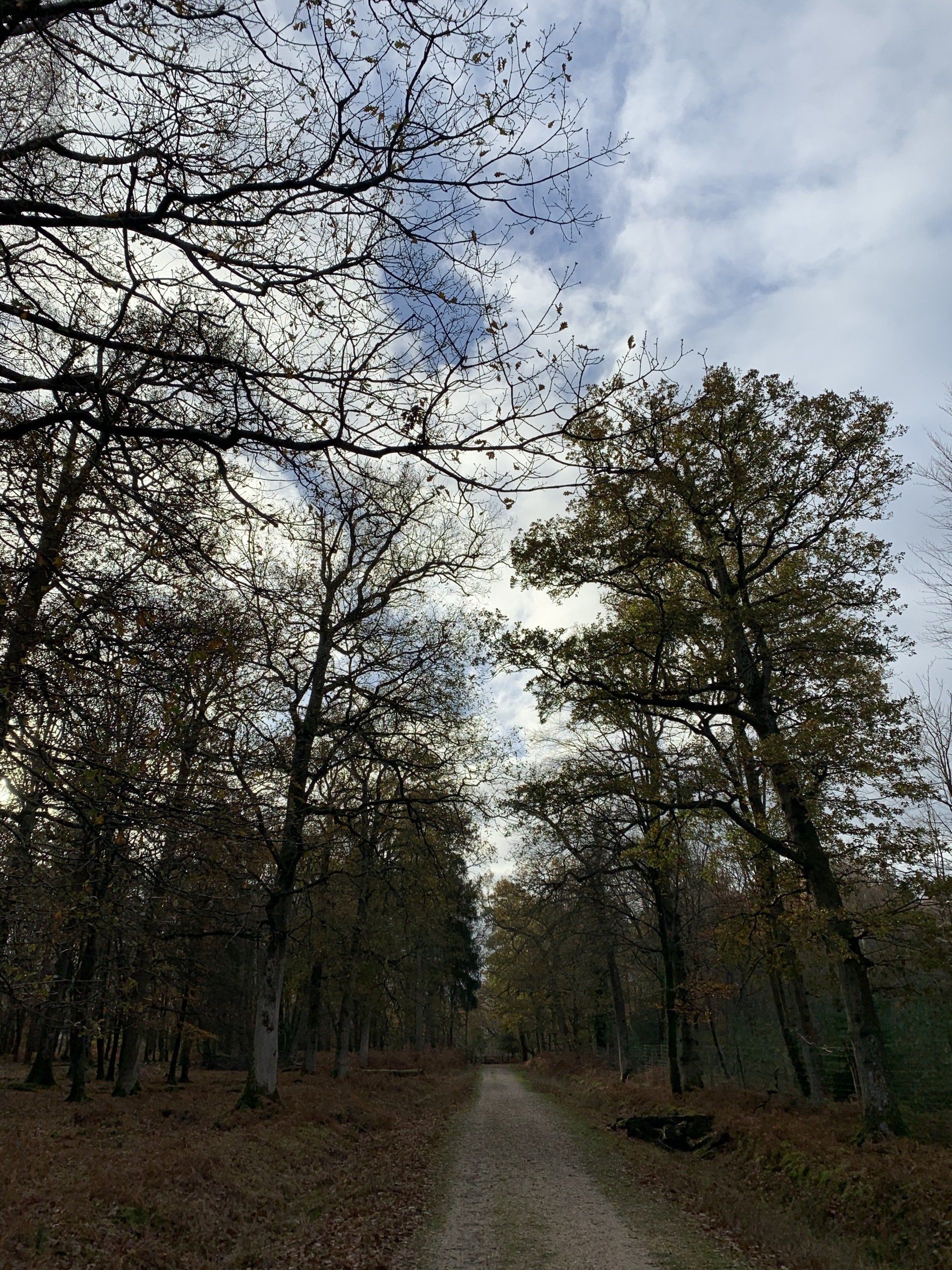
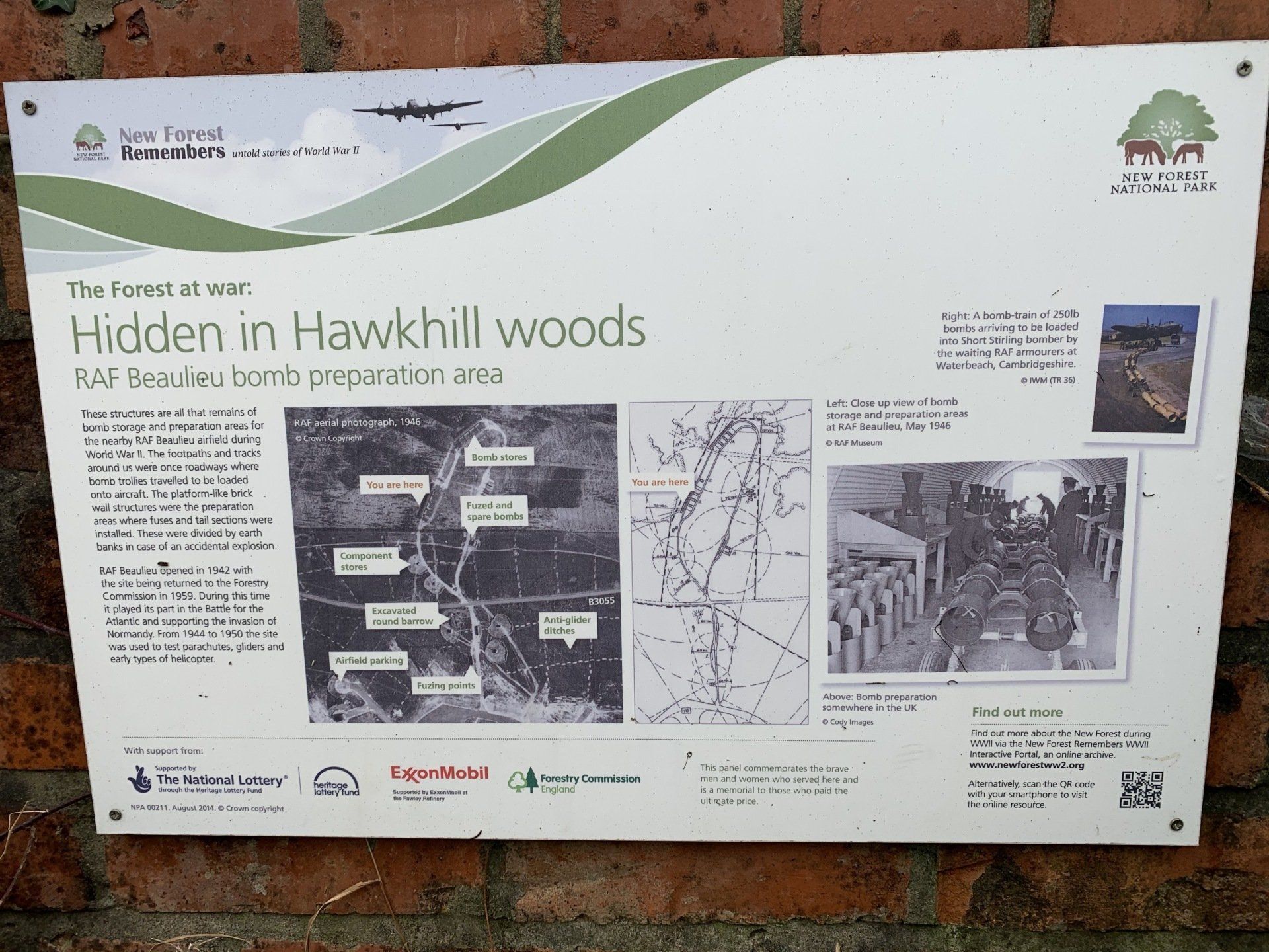
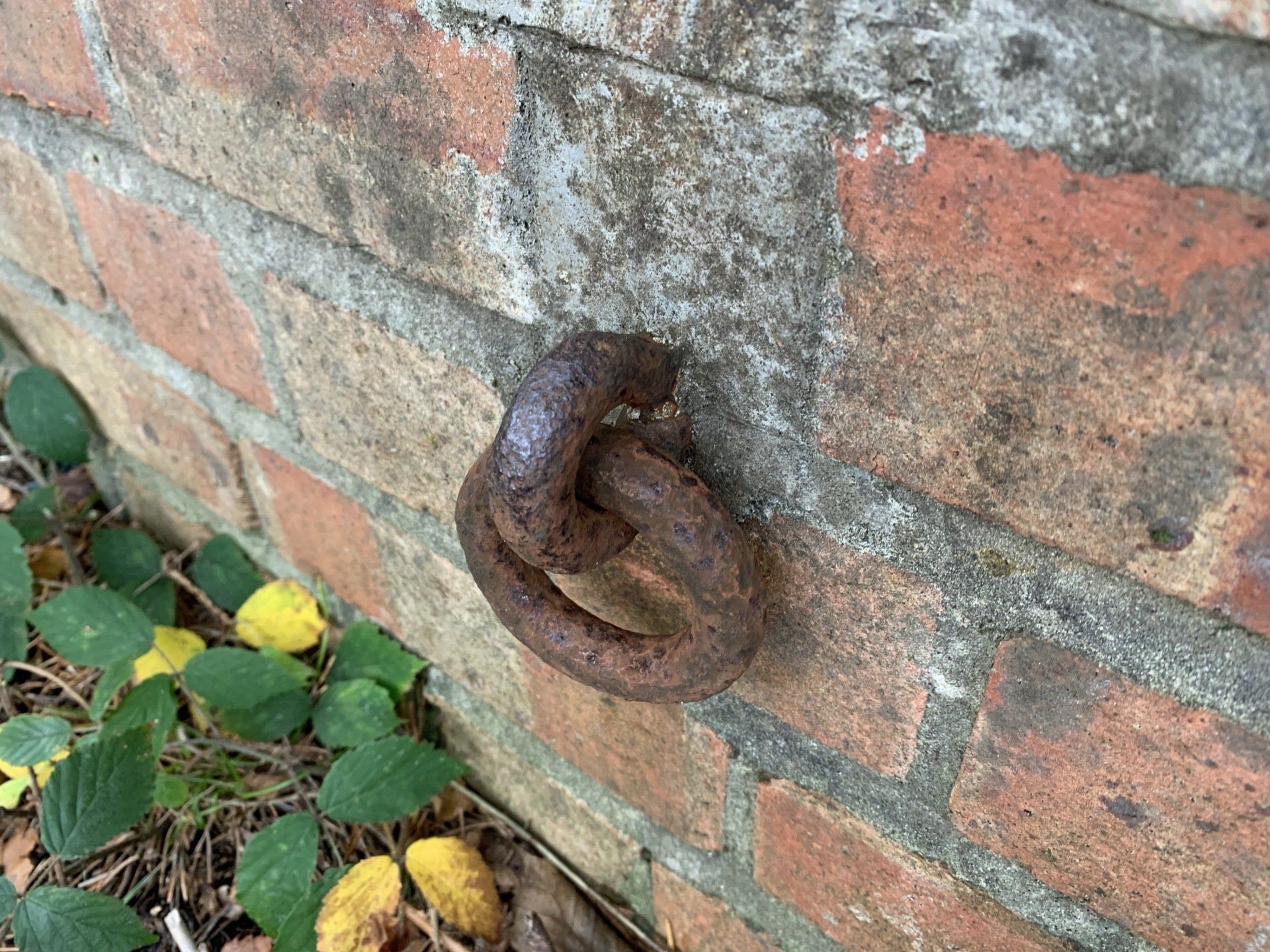
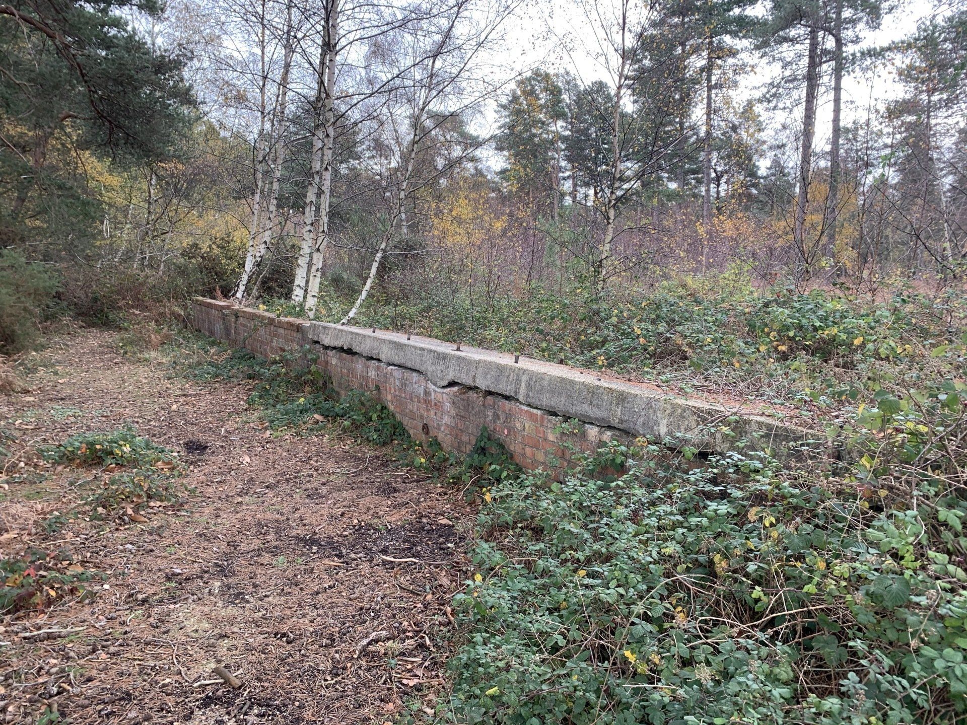
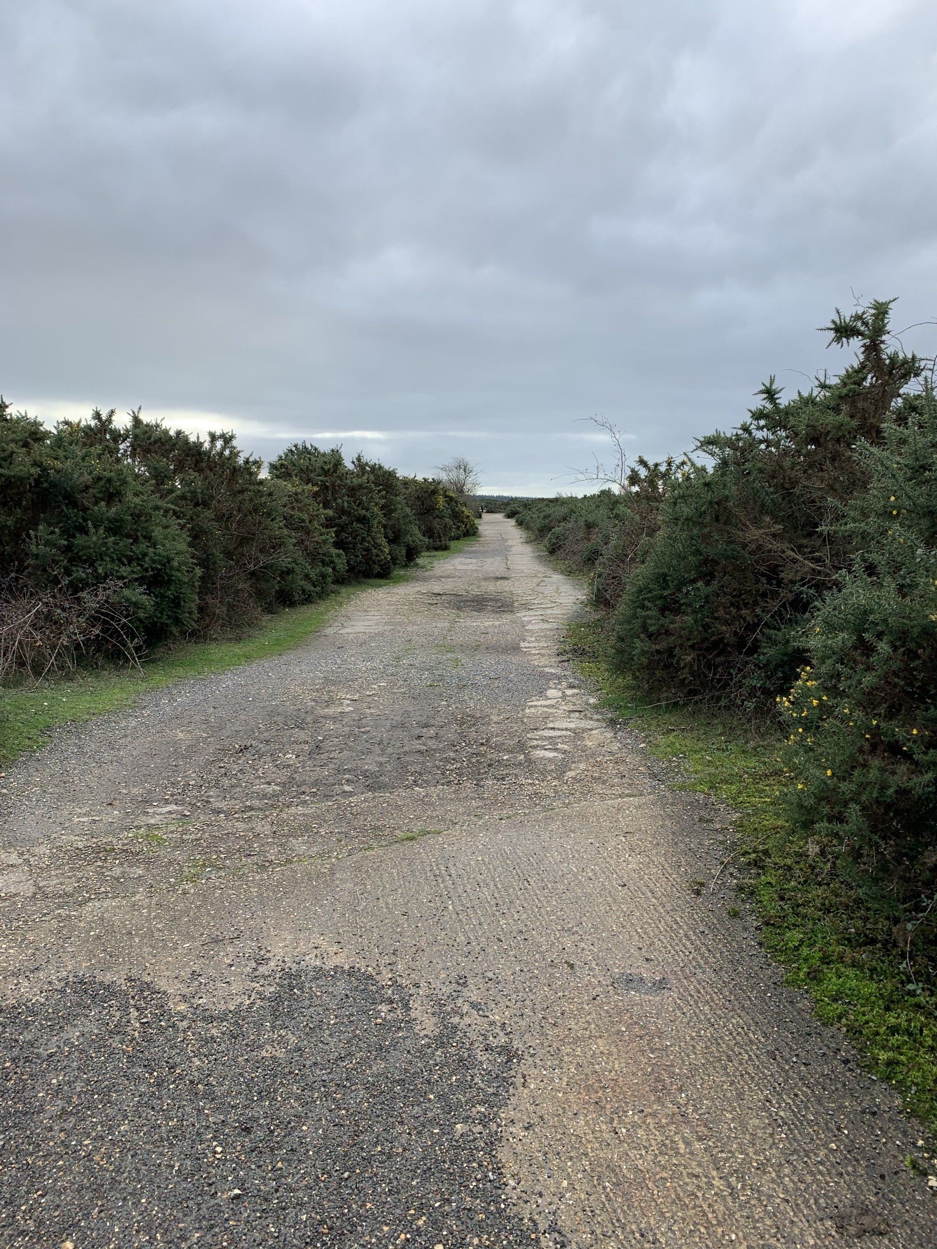
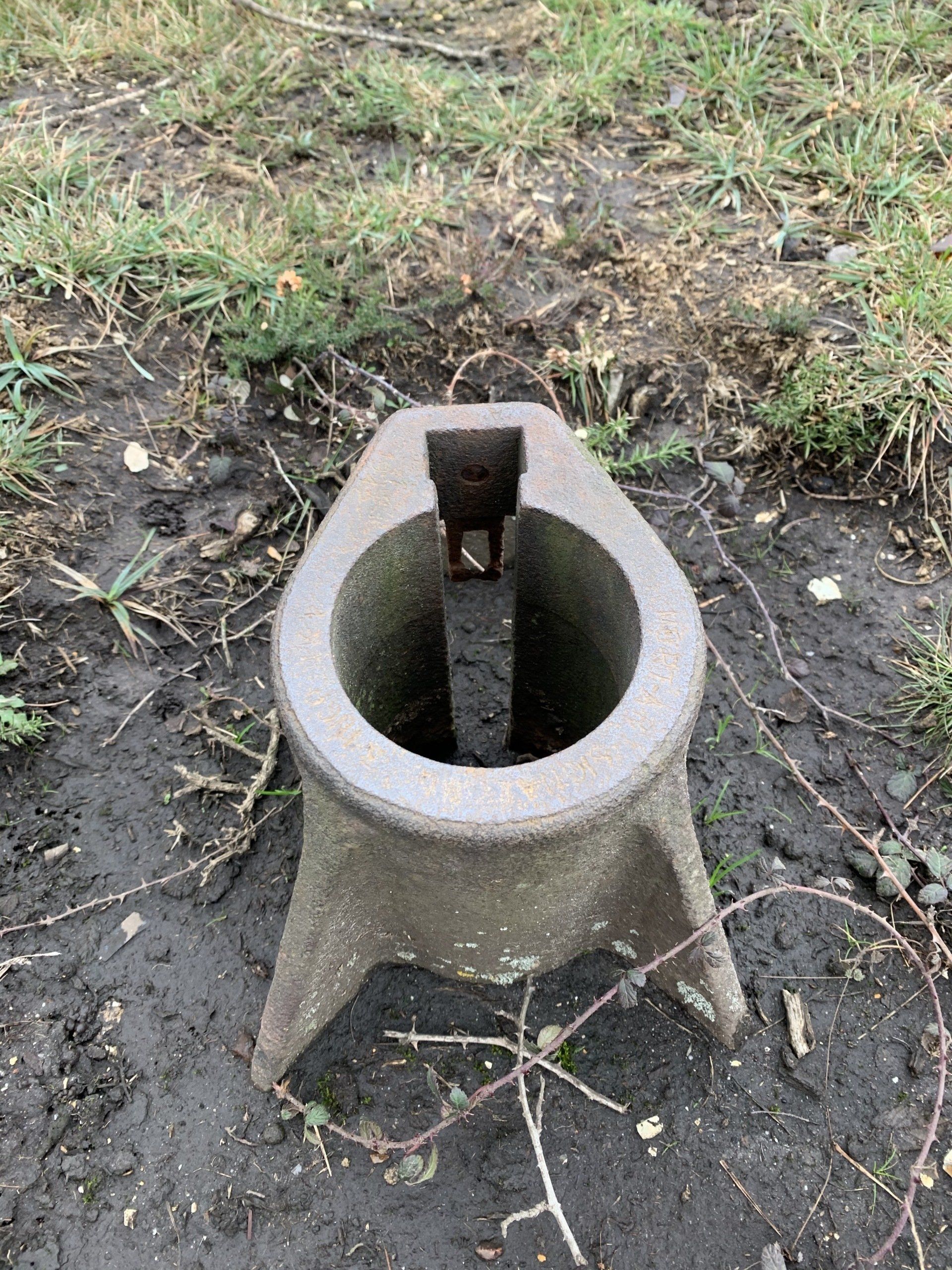
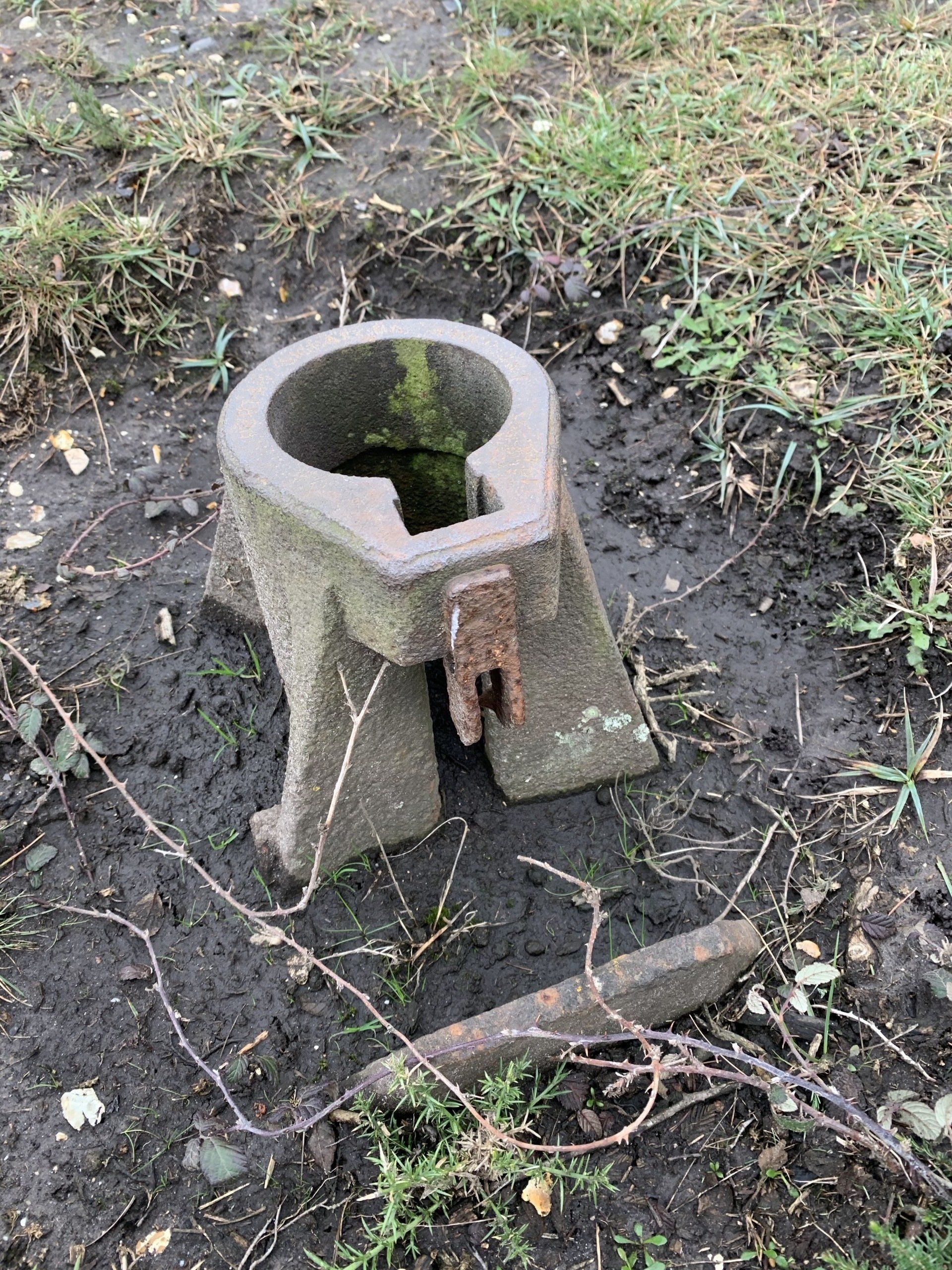
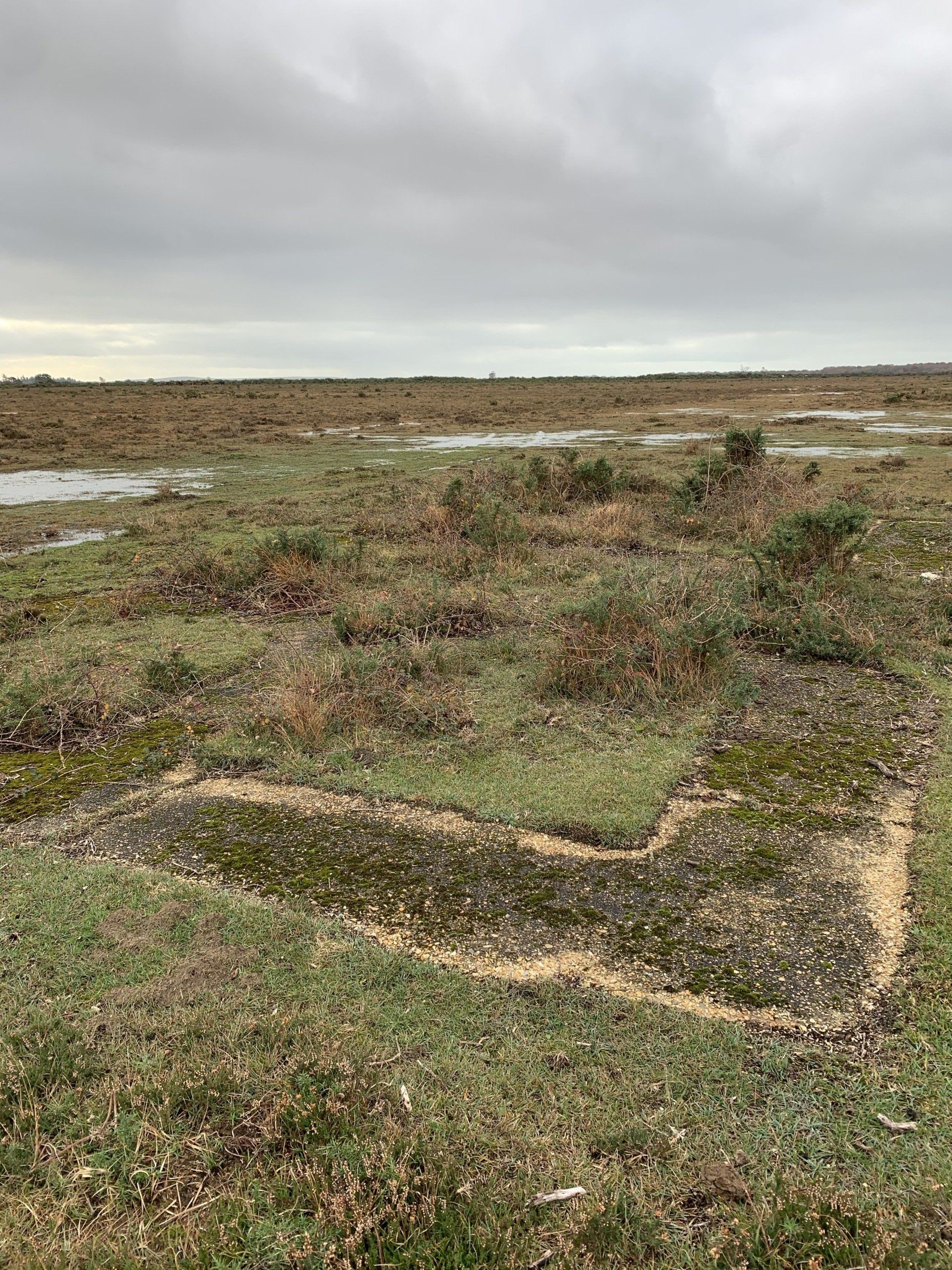
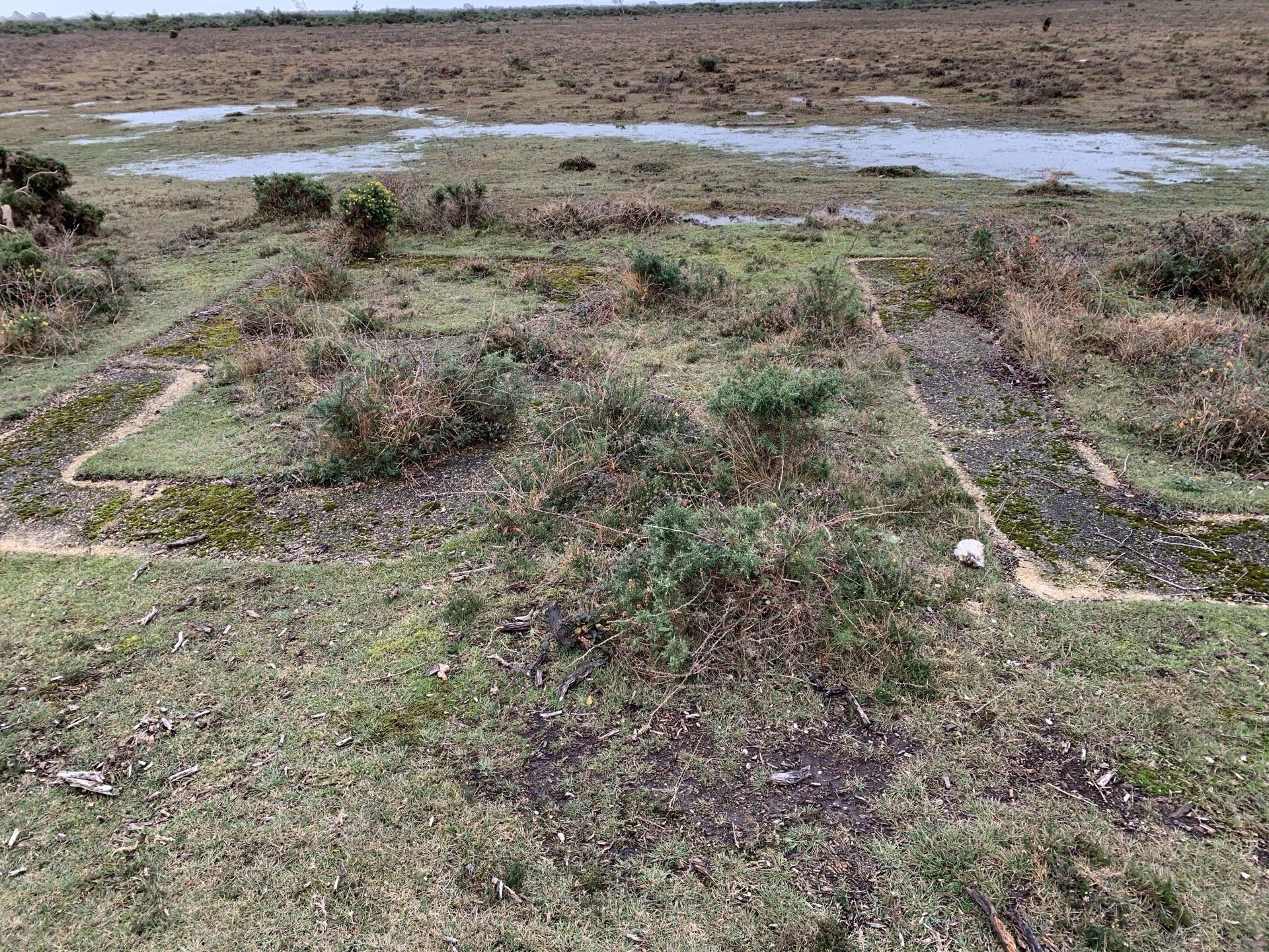
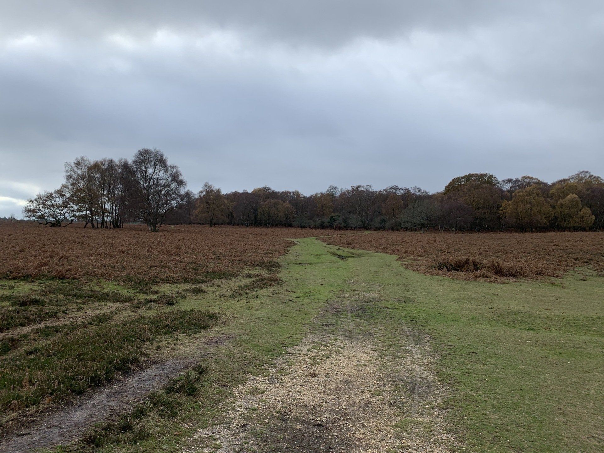
Nov 2020 - Parked up near Beaulieu Road Station for this one today. One of the few benefits of this Covid situation, and subsequent travel limitations, is that it’s made me fall back in love with The New Forest. Just a stunning place to be, especially in autumn. Today, I decided to walk the loop that would take me to the now-disused RAF Beaulieu Airfield where I intended to seek out some of the bits and pieces that still exist to this day. Beaulieu was a large airfield, certainly by the standards of the time. The runways alone covered around 570 acres, whilst living accommodation and ancillary facilities, located to the north-west of the runways, were spread out over a similarly sized area. RAF Beaulieu's wartime airfield identification letters "BL" can still be seen today located in front of where the control tower once stood. Known as a pundit code, they enabled airborne aircraft to identify the airfield they were flying over. Came across a strange metal thing and discovered later that it's a Signals Mortar socket, typically used in emergency situations on an airfield when the comparatively weak light fired from a Verey pistol would have been rendered useless in times of poor visibility or bad weather. The Signals Mortar fired a very powerful pyrotechnic flare hundreds of feet vertically into the air and was used primarily as a measure of last resort for the emergency guidance of an aircraft to an airfield. In such situations, a signal mortar would be placed in the socket, and fired by pulling a wire attached to the base. North of the main airfield at RAF Beaulieu is Hawkhill Inclosure. Hidden in these woods were the bomb storage and the bomb preparation areas. Bombs would be taken from the storage bunkers on trolleys. Fuses, fittings and tail sections were installed with all the safety pins put in place prior to taking them via trolley to the main airfield and loading onto the planes. The securing rings below the loading platform were known as trammelling rings, and would have facilitated the unloading of bombs from delivery lorries. The roadways where these trollies once travelled are still very visible. The platform-like brick wall structures are the preparation areas and these were divided by earthen banks, some of which still survive today. Members of the Women's Auxiliary Air Force (WAAF) were billeted a little to the south, with their own communal area, where today brick and concrete building bases and two old air raid shelters stand incongruously on the edge of a field. Plenty of deer about. A lovely long walk and it stayed dry.
