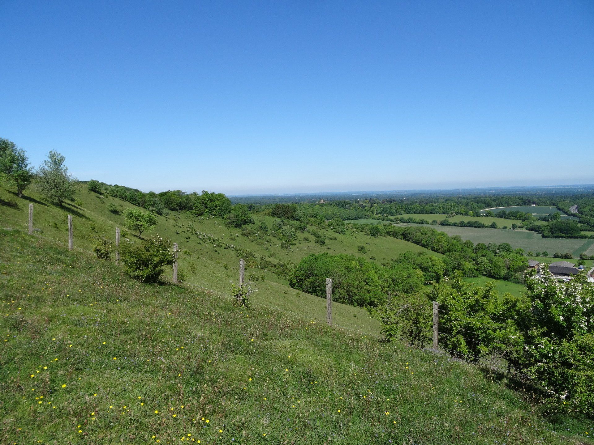
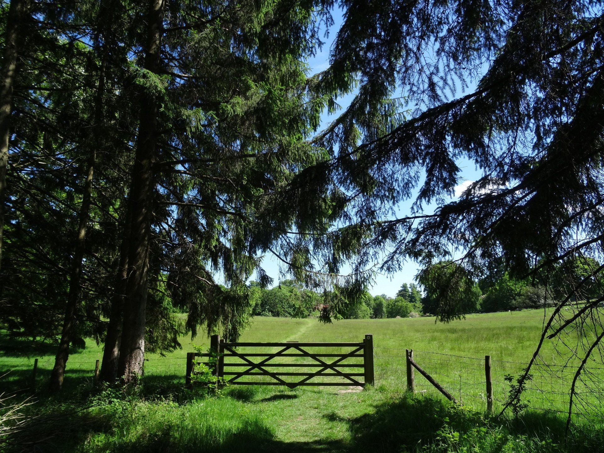
Beacon Hill and Pilot Hill
Distance: 20.2km
Ascent: 428m
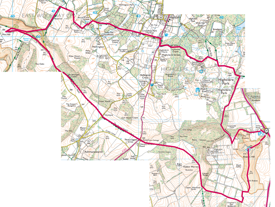
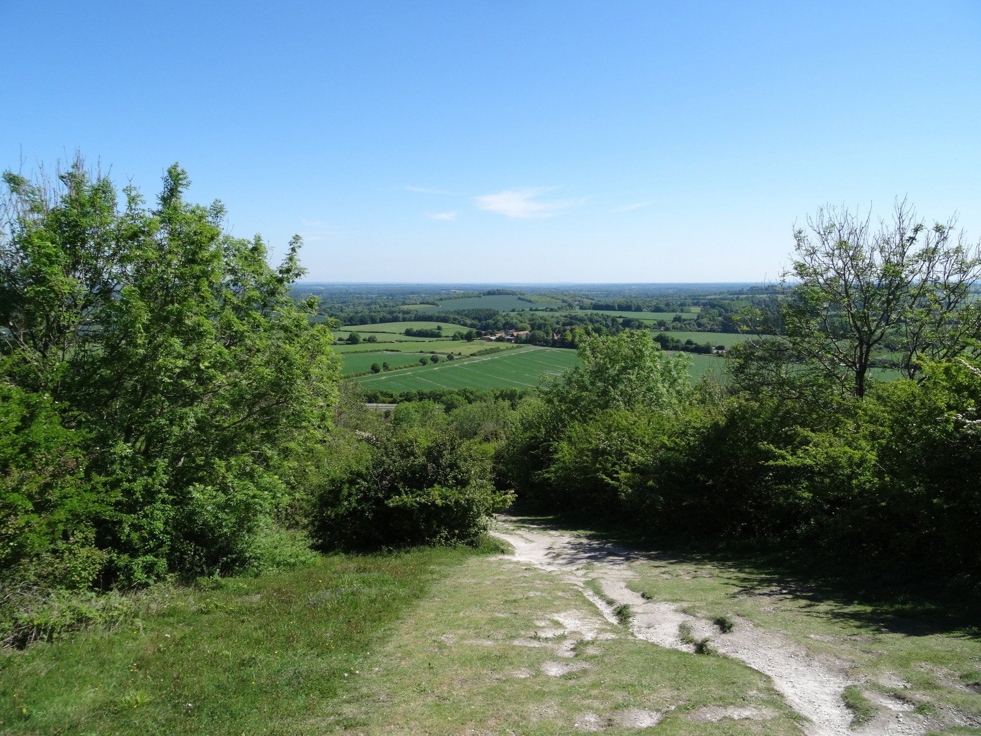
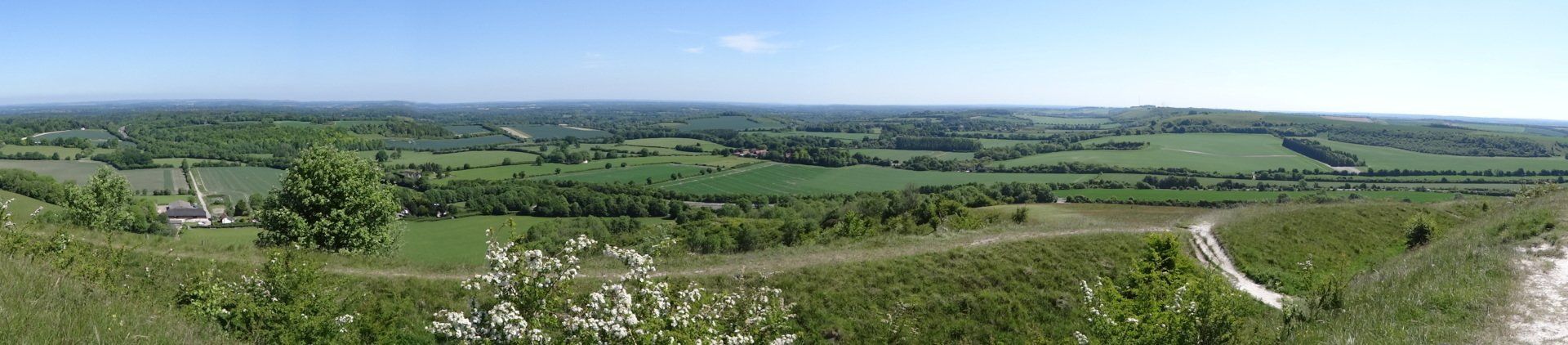
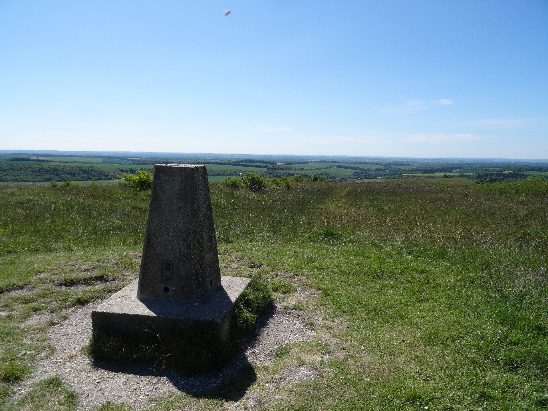
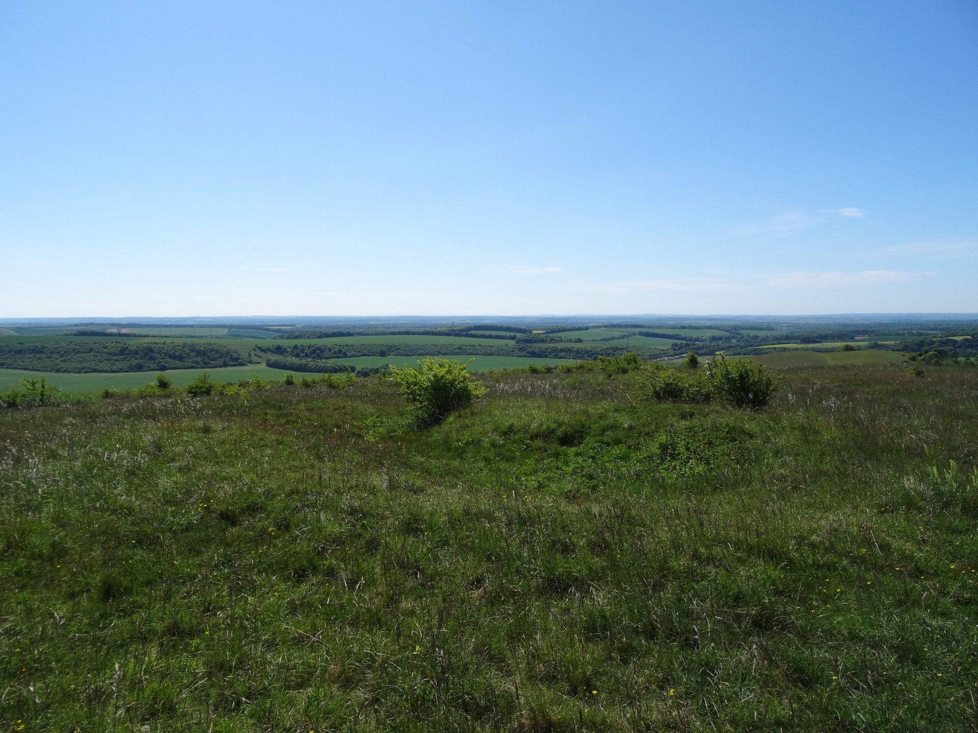
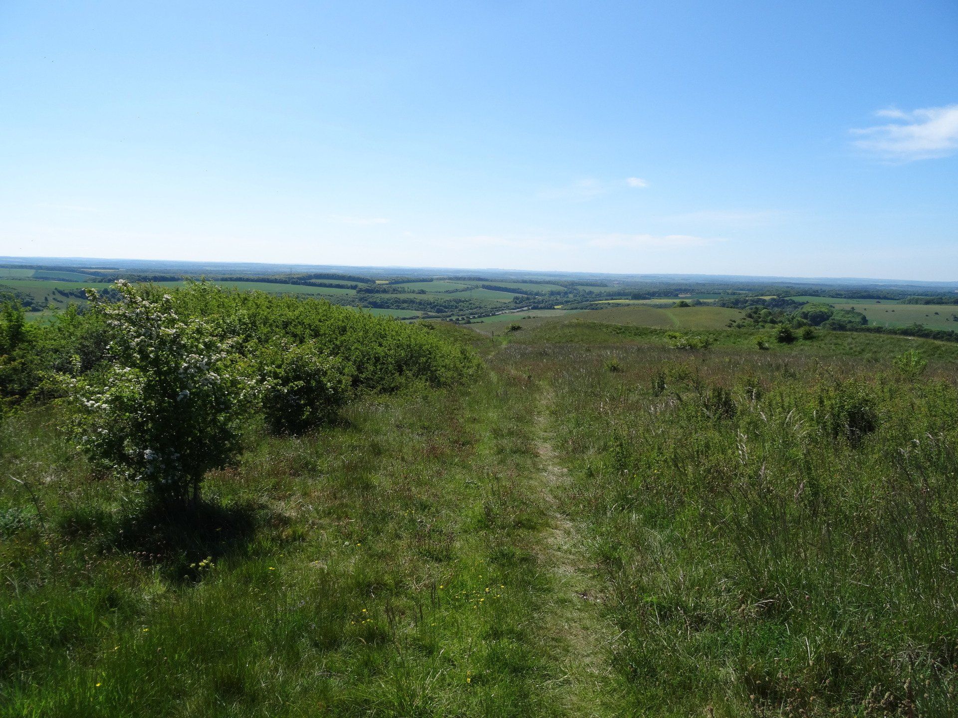
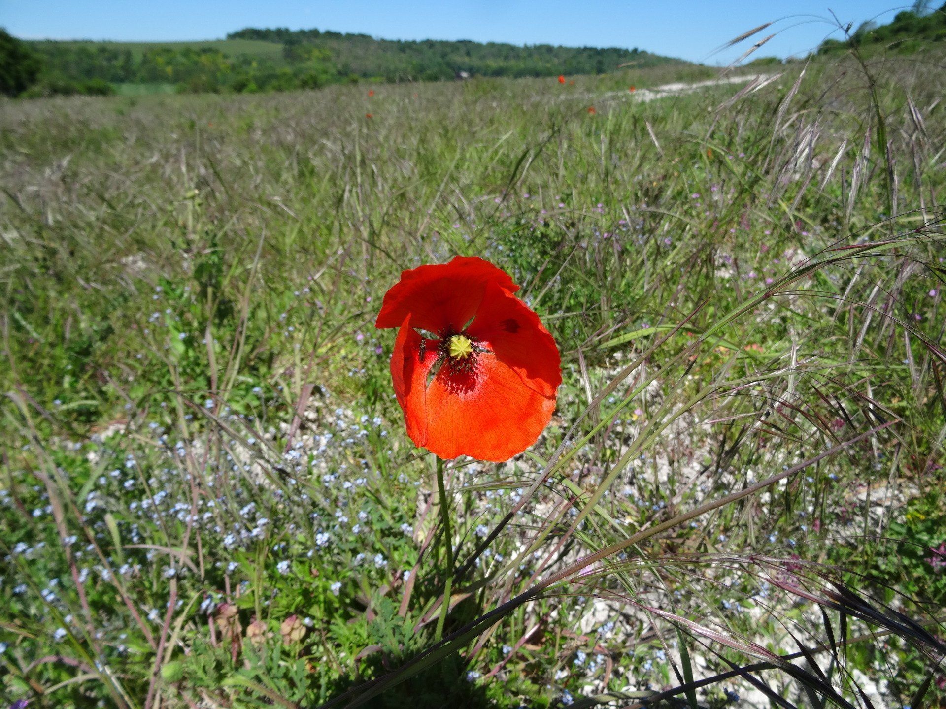
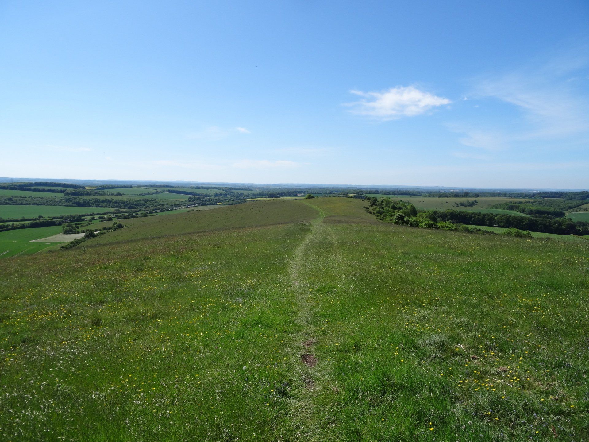
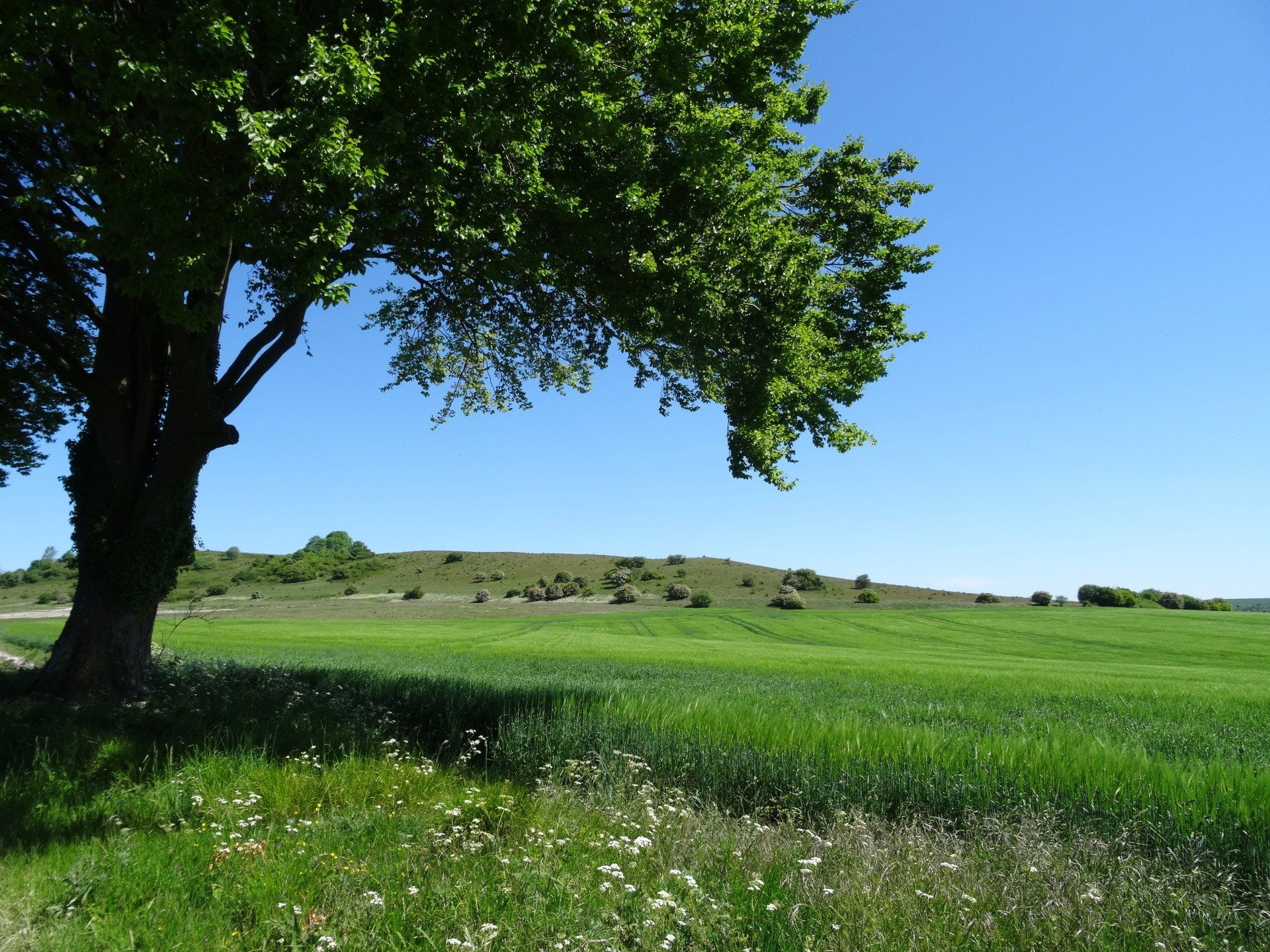
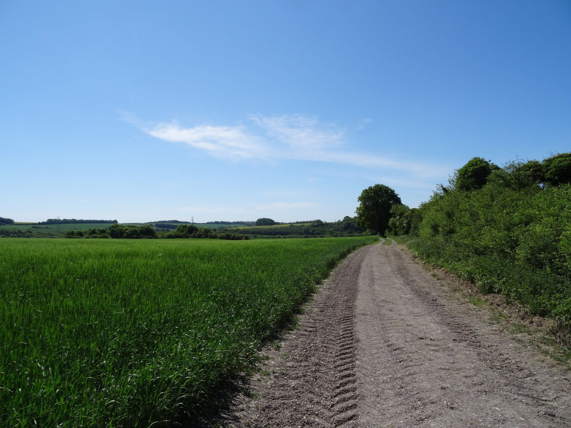
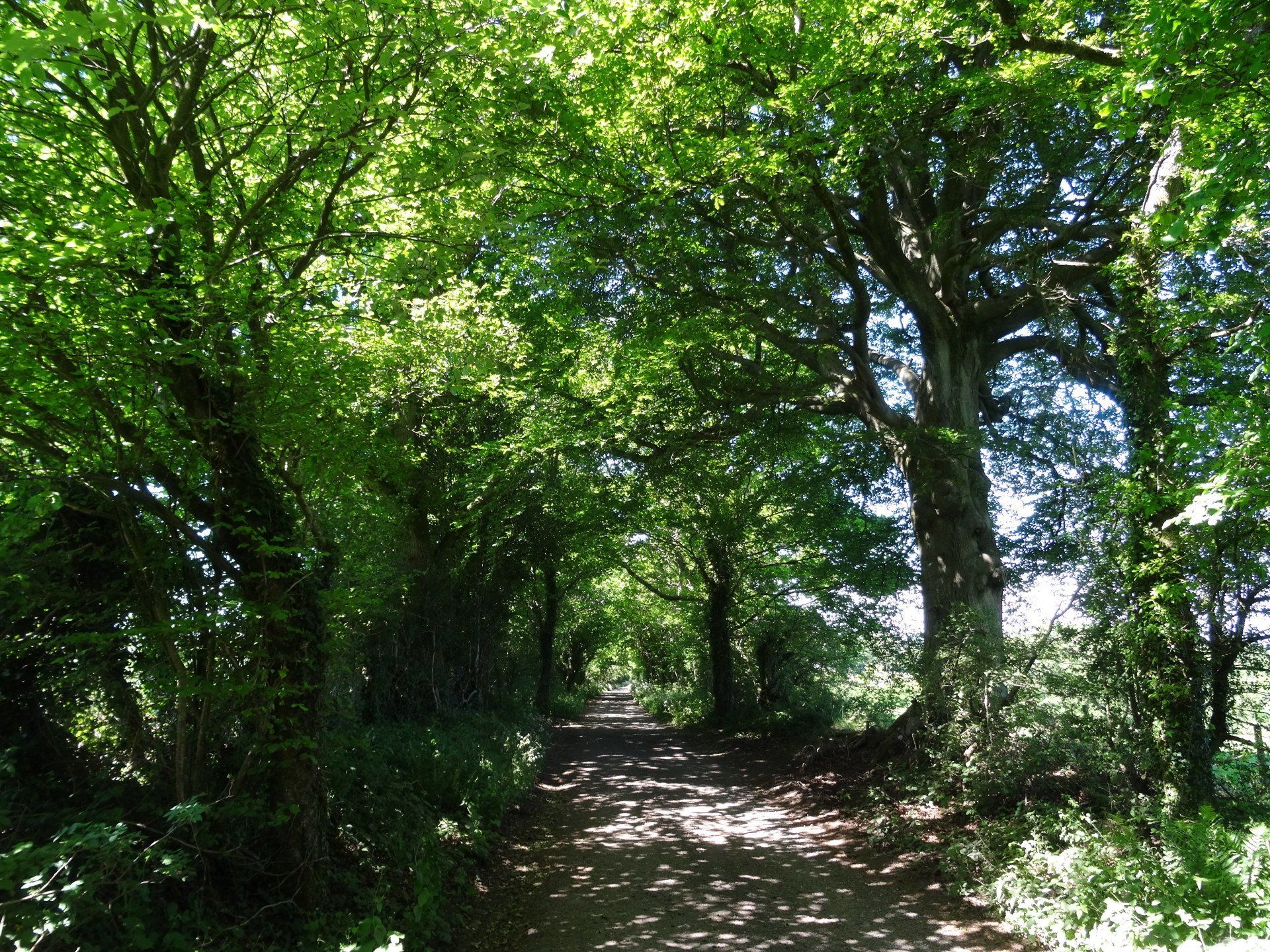
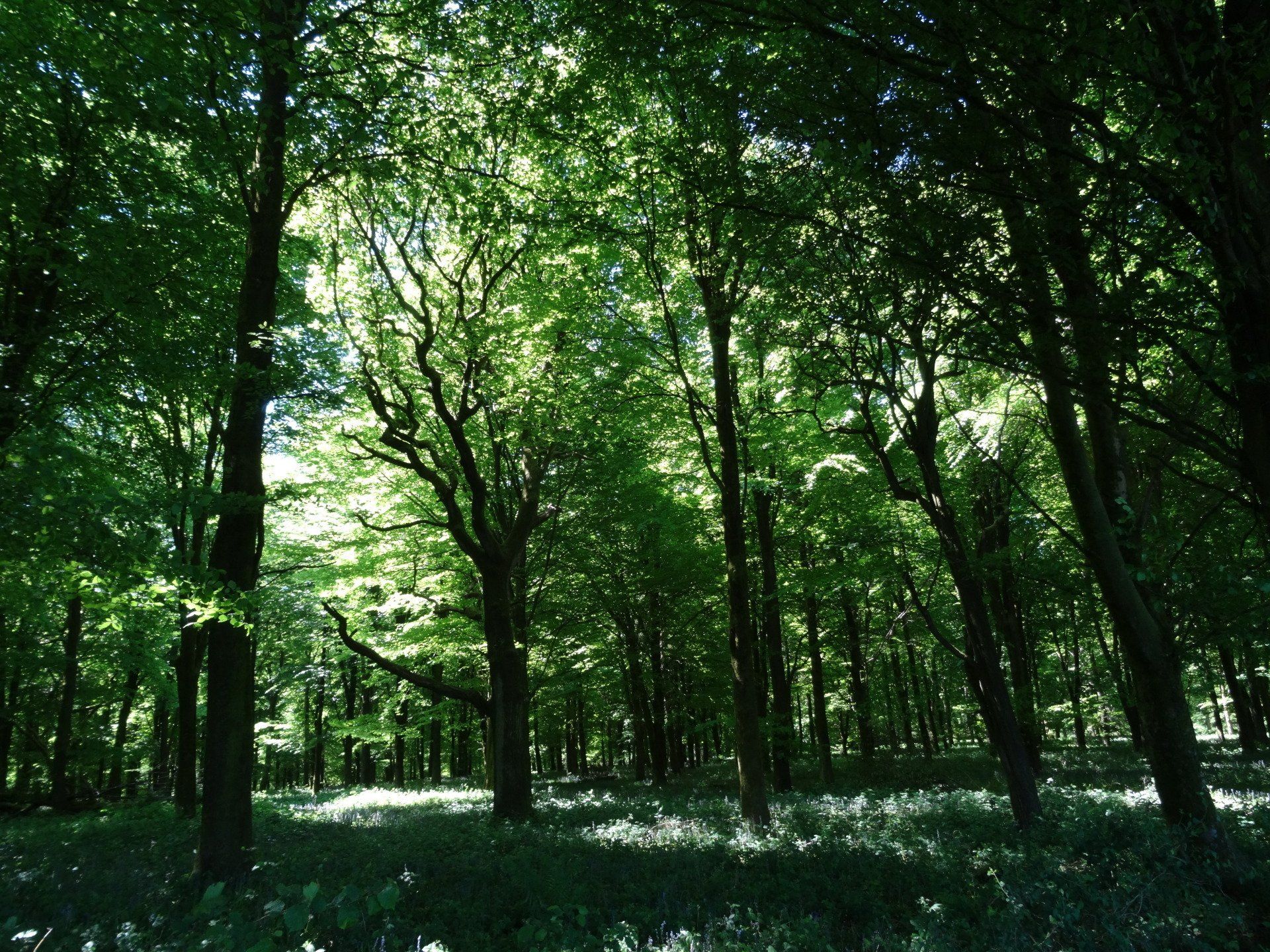
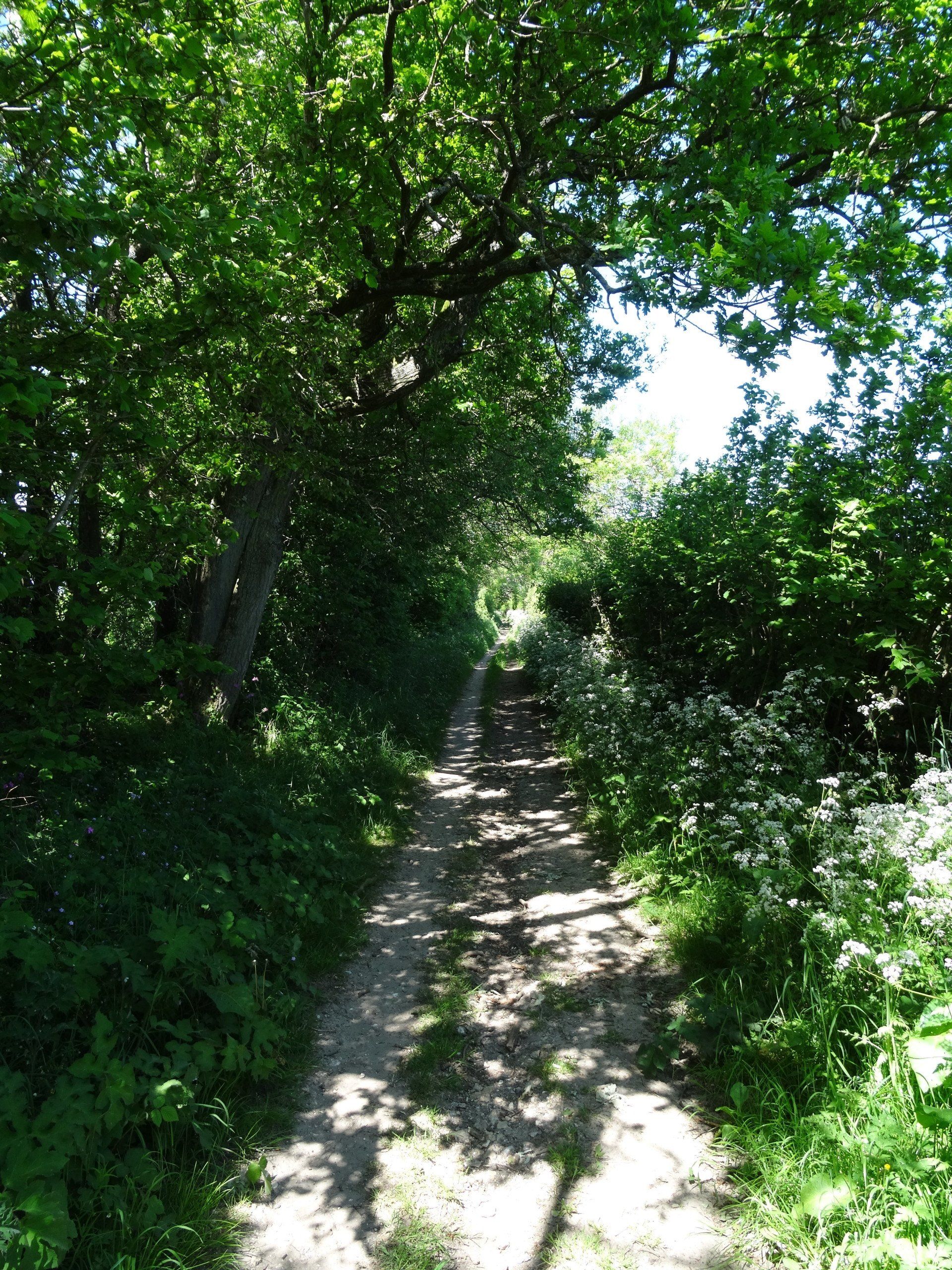
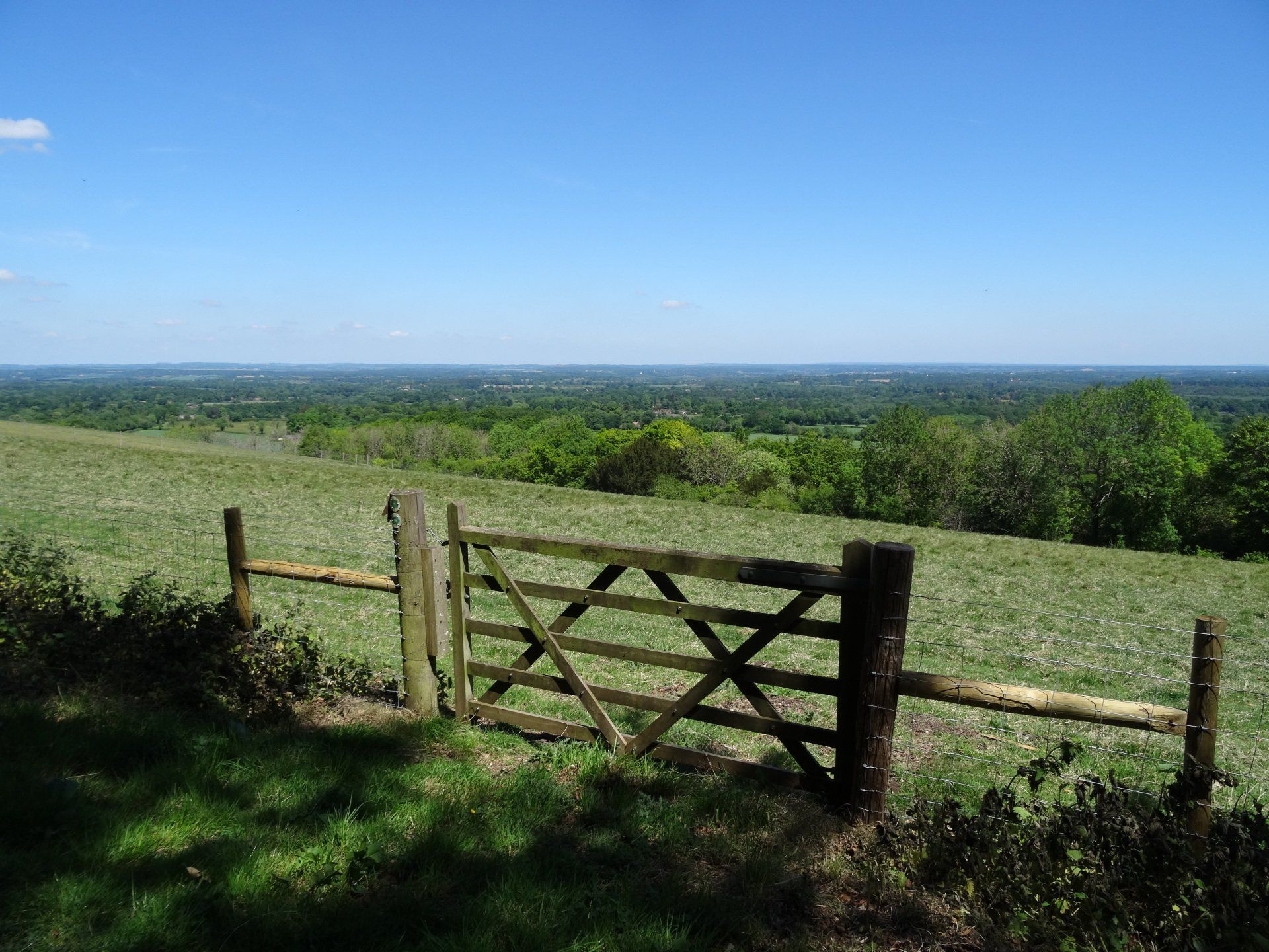
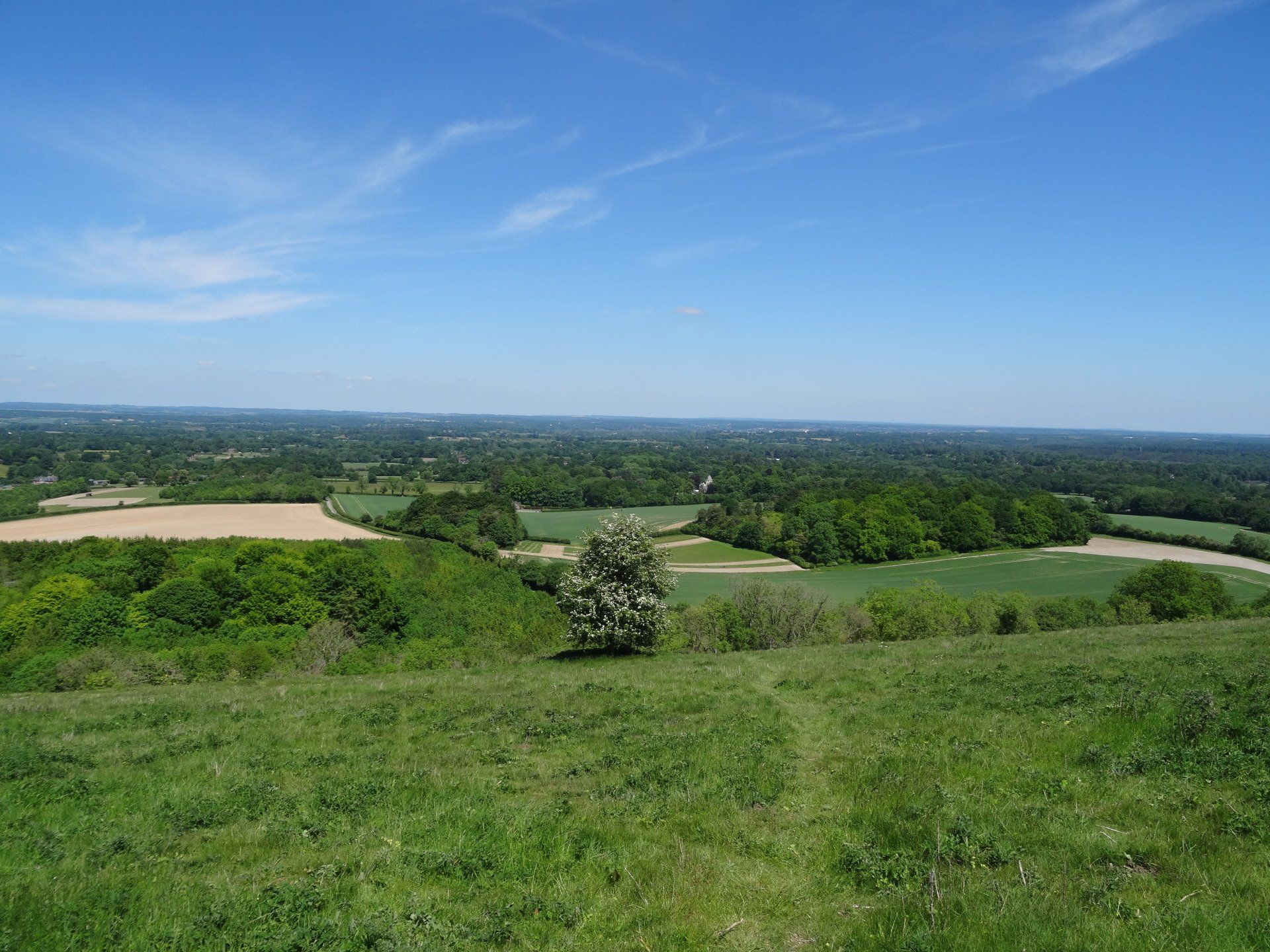
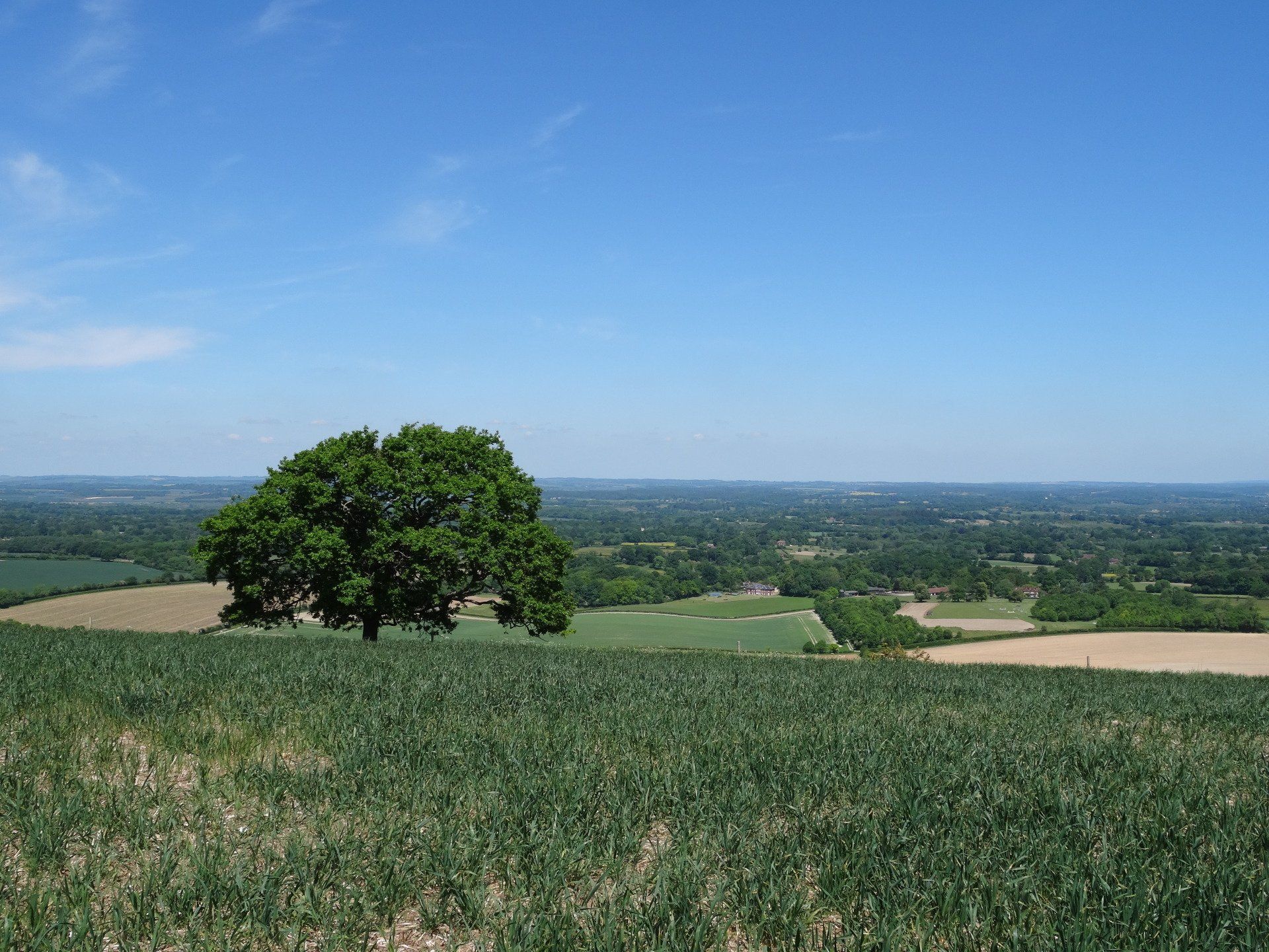
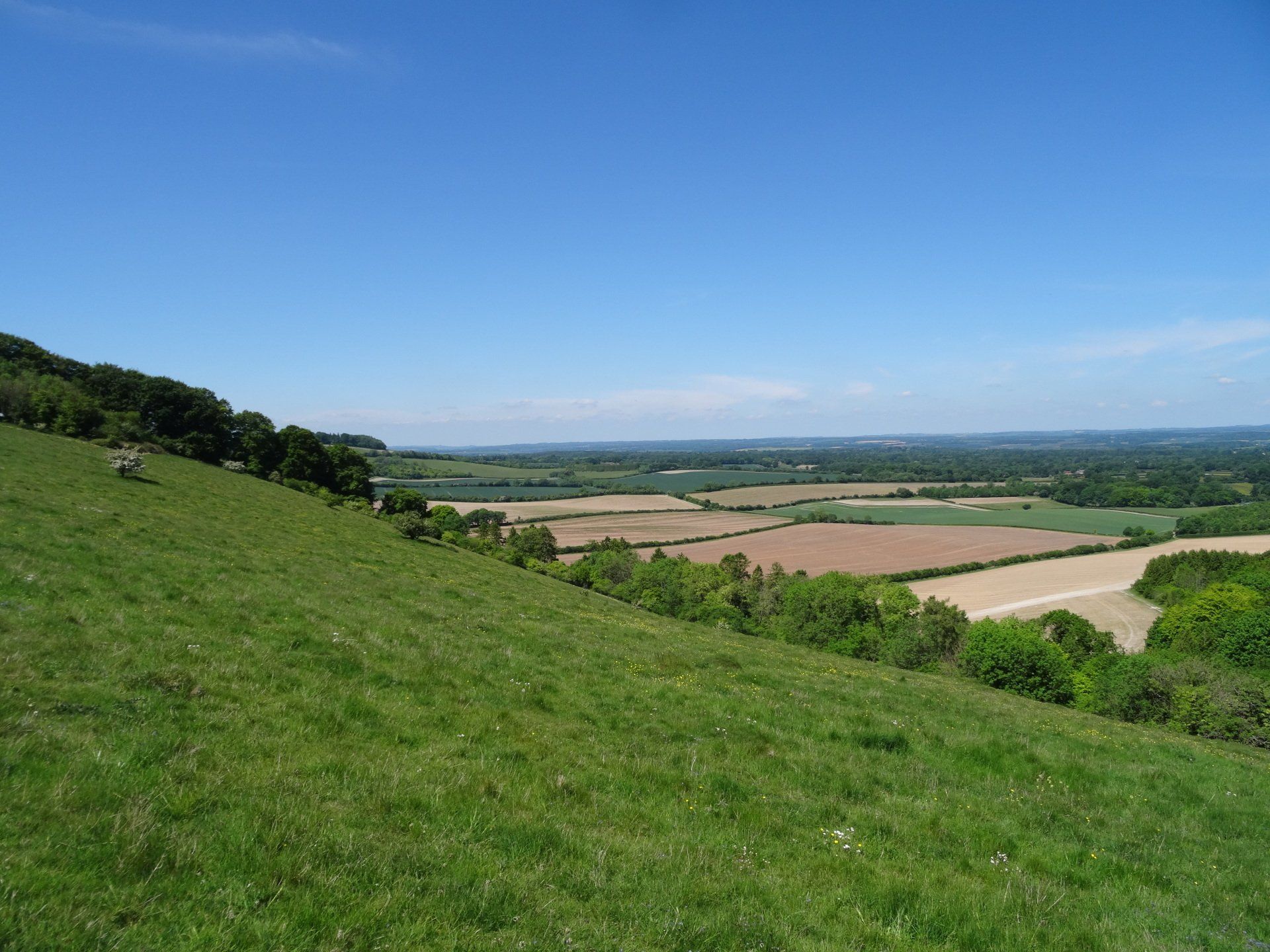
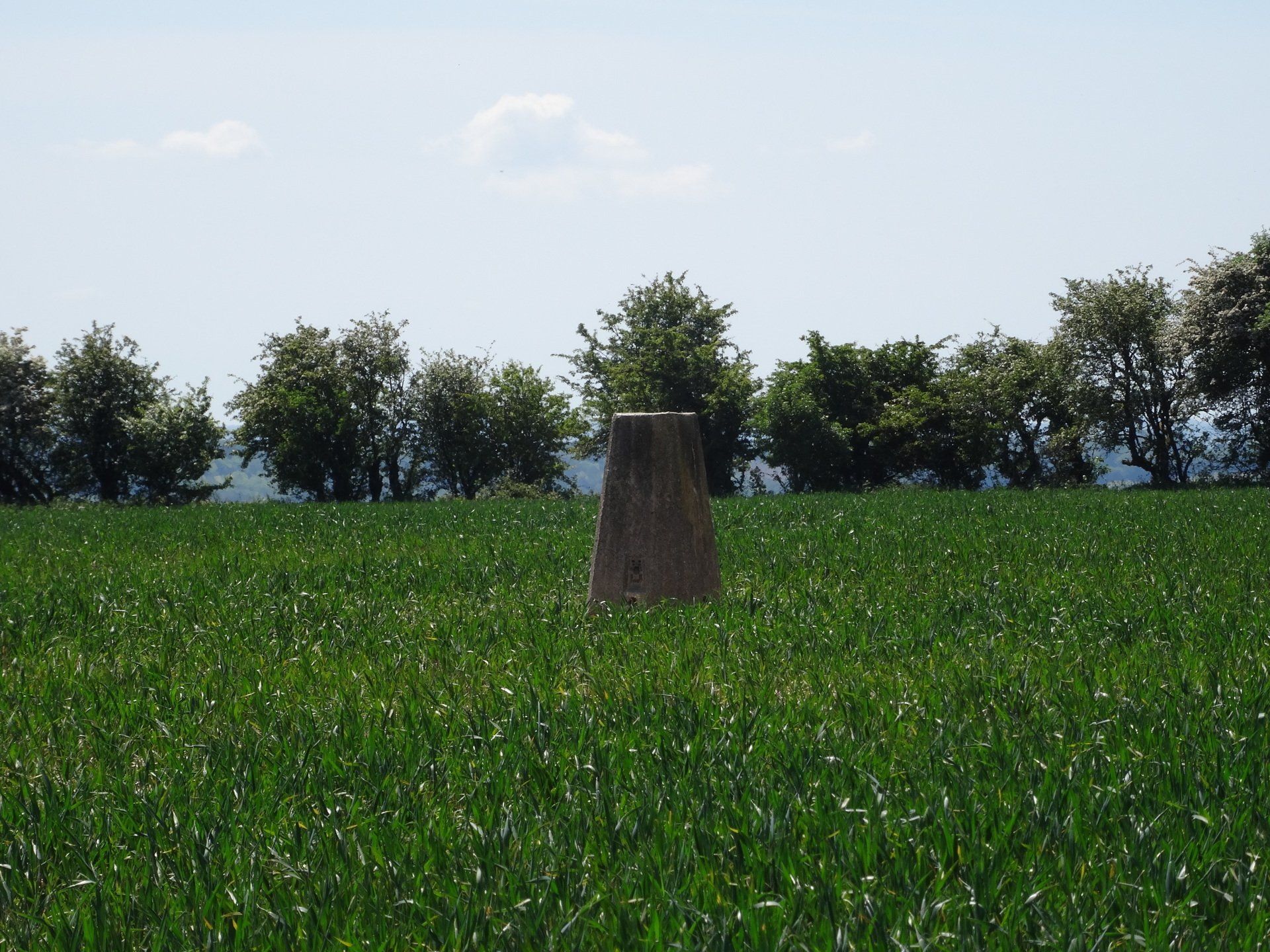
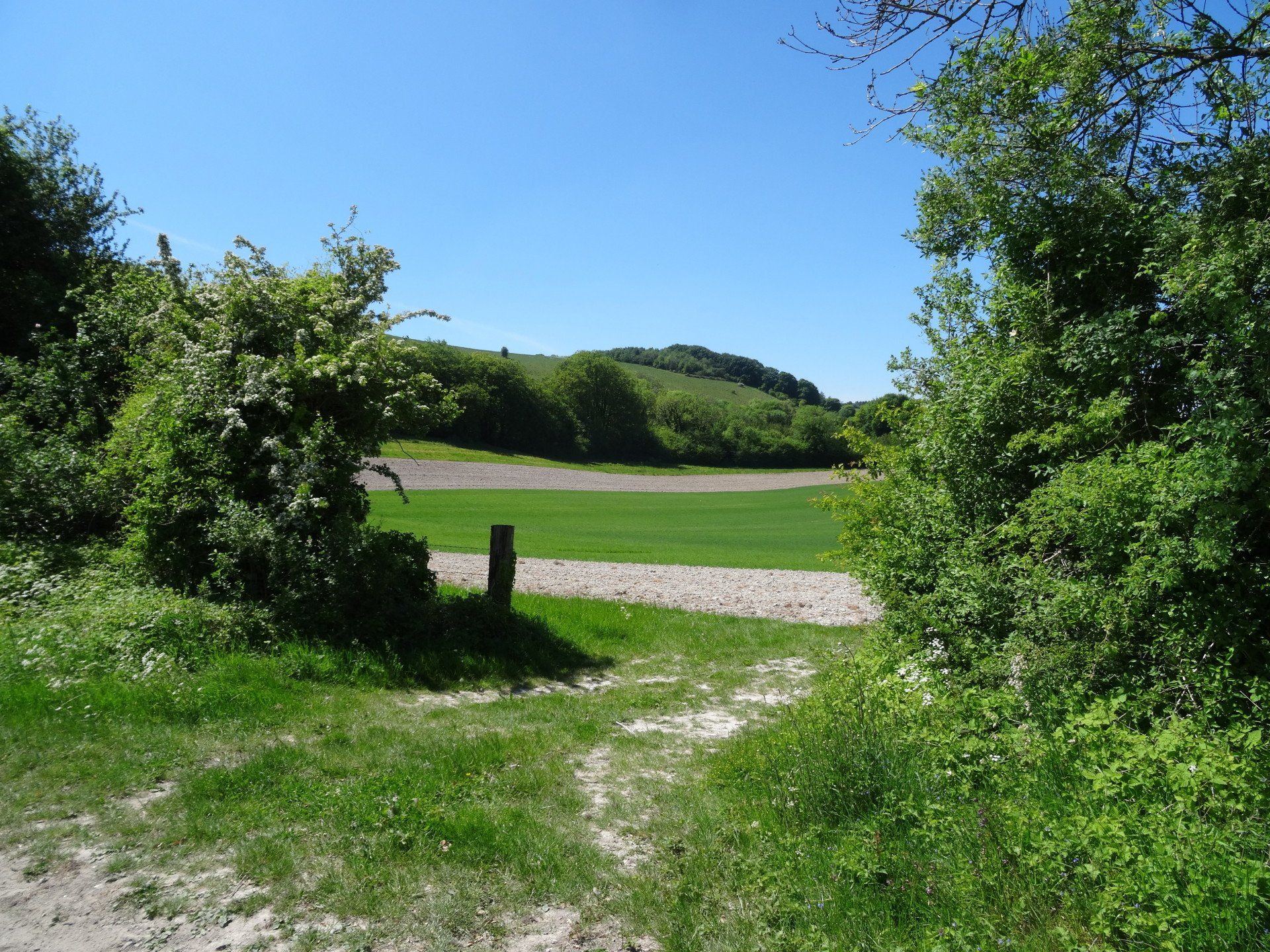
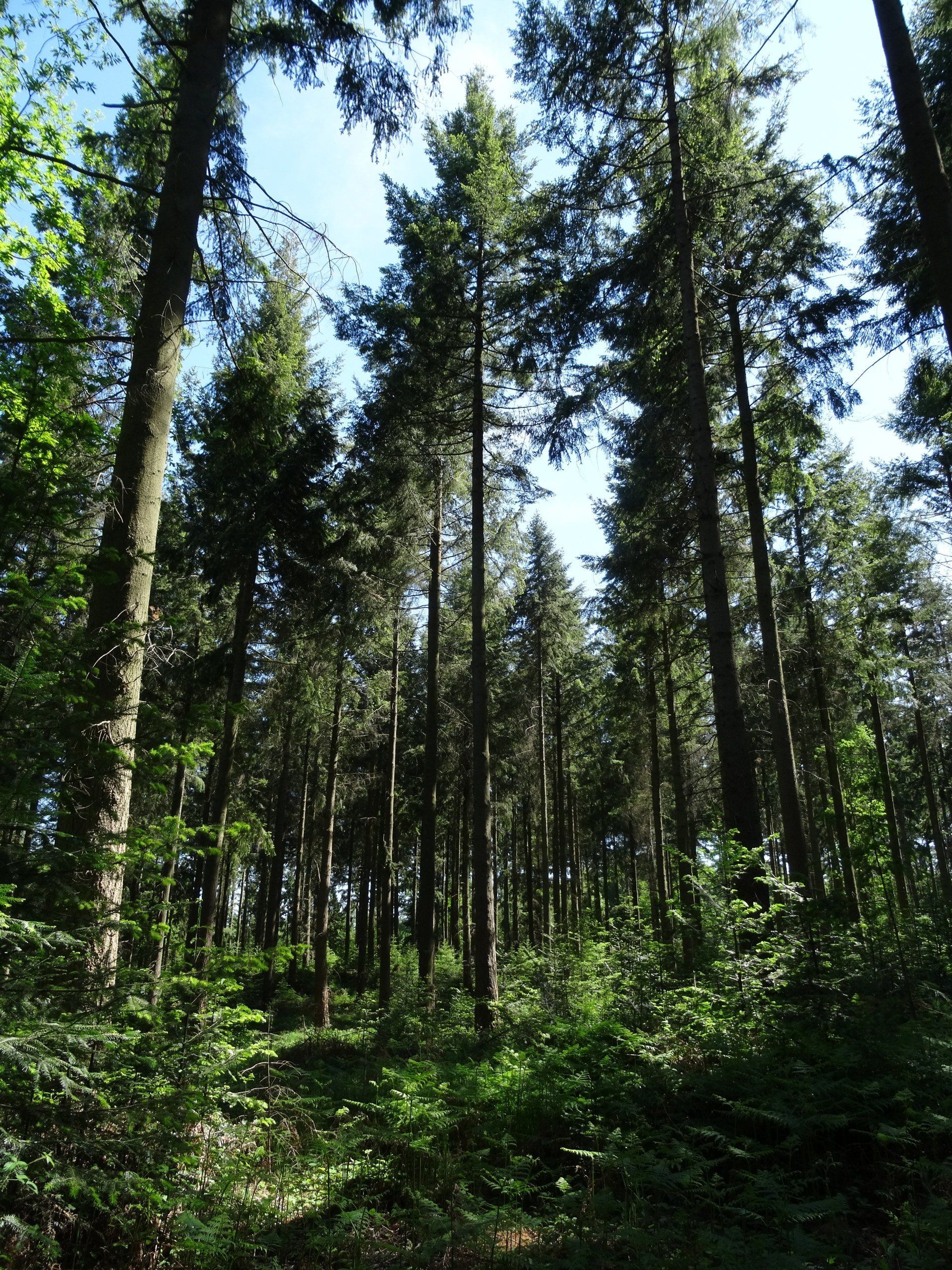
May 2020 - A walk out on the Wayfarer’s Walk starting at Beacon Hill. Beacon Hill is near the village of Burghclere and Watership Down, in north Hampshire. The hill's name is derived from the fact that it was one of many Beacon Hills in England and beyond. This hill was once the site of the most famous beacon in Hampshire. It is 261m high and has one of England's most well-known hill forts on its slopes. The hill fort on the top of the hill has never been systematically excavated, but the land and ditch are sharply defined and well preserved. The Beacon Hill camp, built around 1000 BC, was probably inhabited by around 2–3000 people according to calculations from similar camps. It is one of a number of hillforts, which are strung out along the north-facing scarp of the Hampshire Downs, overlooking the Kennet valley to the north. When originally built, these structures must have looked spectacular even from a distance as their white chalk ramparts caught the sun. Six miles later it was Pilot Hill. Pilot Hill at 286m is the highest in the county. The hill is part of the north-facing scarp of the North Hampshire Downs, a chalk ridge within the North Wessex Downs Area of Outstanding Natural Beauty. The upper slopes are open calcareous grassland, while the lower slopes are wooded. The north face of the hill lies in West Berkshire. I followed the Brenda Parker Way for the majority of the route back. The route commemorates Brenda Parker, who worked as a volunteer for the Ramblers in a range of roles over many years, including leading walks, writing walks books, representing Ramblers on rights of way and access matters and serving as Area Chair.